Directions
To reach the Carty and River “S” Units of the refuge, take the Ridgefield exit from Interstate 5 approximately 20 miles north of Vancouver, Washington. Drive 3 miles west to Ridgefield, where you will see signs directing you to these units. To reach the Ridgeport Dairy Unit, take the Fourth Plain Boulevard exit from I-5 at the south side of Vancouver. Travel west then north, turning west at Vancouver Lake Park. The road then becomes Lower River Road; follow it to a turnaround at the north end of the road.
Phone
360-887-4106
Activities
AUTO TOURING, HISTORIC & CULTURAL SITE, INTERPRETIVE PROGRAMS, FISHING, HIKING, HUNTING, WILDLIFE VIEWING
Camping Reservations
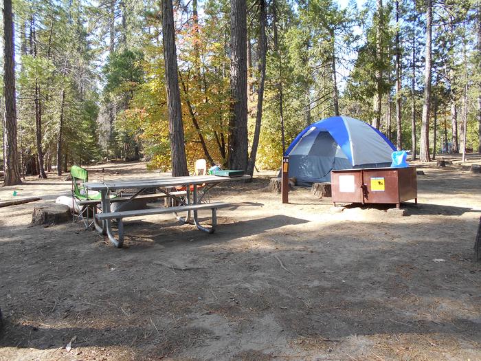
Reserve your campsite at these camping areas:
Hiking Trails
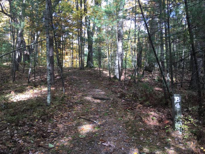
Looking for nice hiking areas to take a hike? Choose from these scenic hiking trails:
Related Link(s)
More Washington Recreation Areas
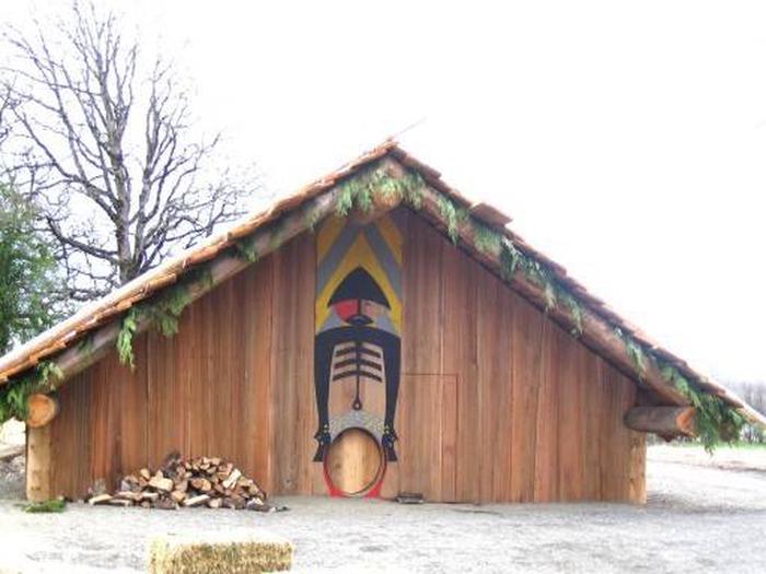
Ridgefield National Wildlife Refuge is located on the shore of the Lower Columbia River, 10 miles downstream from the Portland/Vancouver metropolitan area. This 5,217 acre refuge contains a mosaic of riverine flood plain habitat, intensively managed seasonal and permanent wetlands, and agricultural lands. The refuge contains the historic Cathlapotle townsite, which was visited by the Lewis and Clark expedition in 1806, and today is one of the best-preserved Native American sites in the Northwest United States. Ridgefield Refuge provides high quality wintering habitat for a variety of waterfowl, particularly dusky Canada goose and lesser sandhill cranes. Currently hosting 165,000 visitors annually, the refuge provides excellent wildlife viewing opportunities via a 4-mile auto tour route and two developed hiking trails. It also provides excellent outdoor classroom opportunities for Portland/Vancouver area schools, including natural resource, cultural, and historic information.


