Directions
Take Highway 83 to Alamo, turn south onto FM 907 for 7.5 miles. At Highway 281 (Old Military Highway) turn left and continue for about one quarter of a mile. The refuge is on the south side of the highway.
Phone
956-784-7500
Activities
AUTO TOURING, INTERPRETIVE PROGRAMS, HIKING, VISITOR CENTER, WILDLIFE VIEWING
Camping Reservations
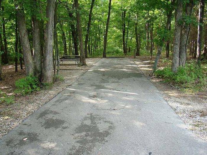
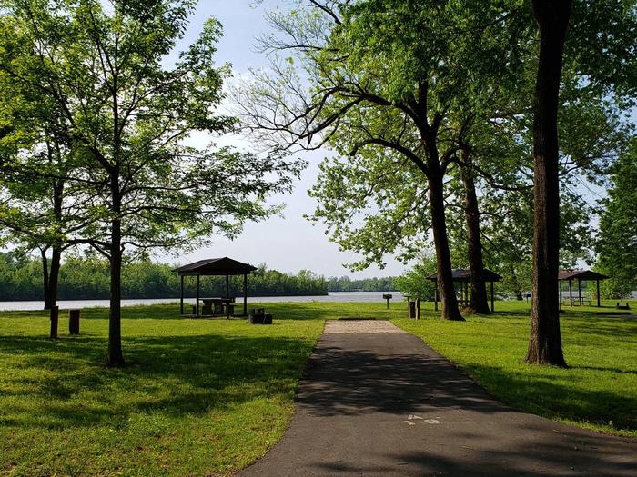
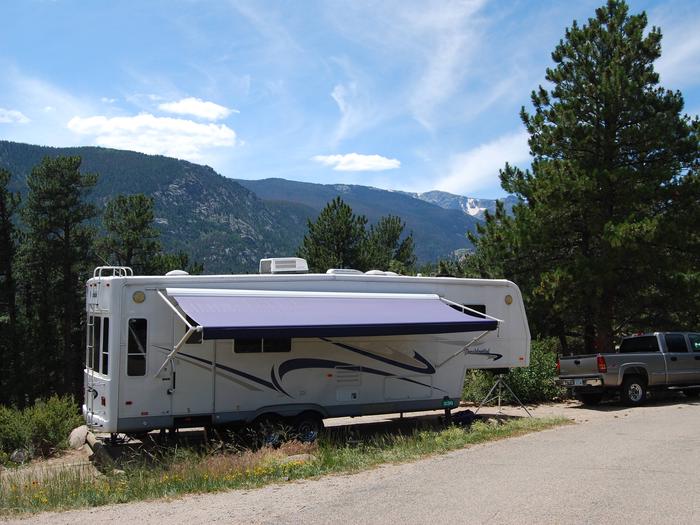
Reserve your campsite at these camping areas:
Hiking Trails
Looking for nice hiking areas to take a hike? Choose from these scenic hiking trails:
Related Link(s)
Step into a rare tropical world at Santa Ana National Wildlife Refuge. Spanish moss drips from trees. Noisy chachalacas welcome the morning dawn. A malachite butterfly flits from the shadows. The wildlife clientele is truly international here along the most southern stretch of the Rio Grande. Thanks to the foresight of those who succeeded in protecting the refuge in 1943, we can experience a natural world that has vanished from 95 percent of the Lower Rio Grande Valley. Santa Ana NWR gleams like an inviting island in a sea of cleared and altered lands. The designation of Lower Rio Grande Valley National Wildlife Refuge in 1979 set the wheels in motion for connecting the natural pieces left along the last 275 miles of the Rio Grande’s journey.