Directions
Directions Seal Beach Refuge is located south of Long Beach City on the border of Orange and Los Angeles counties. From the 405 Freeway, take the Seal Beach Boulevard exit and head west. Continue for approximately 0.5 miles on Seal Beach Boulevard to the entrance of the Seal Beach Naval Weapons Station (800 Seal Beach Boulevard).
Phone
562-598-1024
Activities
AUTO TOURING, INTERPRETIVE PROGRAMS, HIKING, VISITOR CENTER, WILDLIFE VIEWING
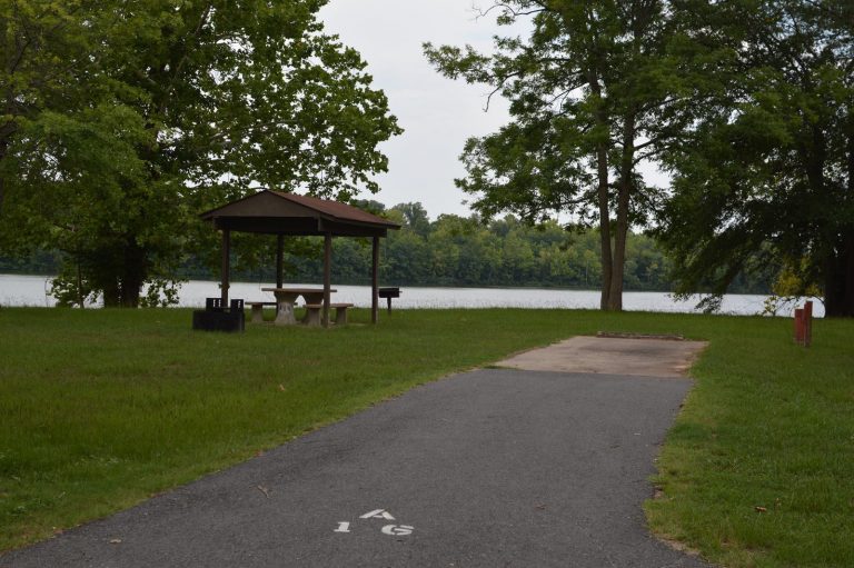
Camping Reservations
Reserve your campsite at these camping areas:
Hiking Trails
Looking for nice hiking areas to take a hike? Choose from these scenic hiking trails:
Related Link(s)
More California Recreation Areas
Seal Beach National Wildlife Refuge
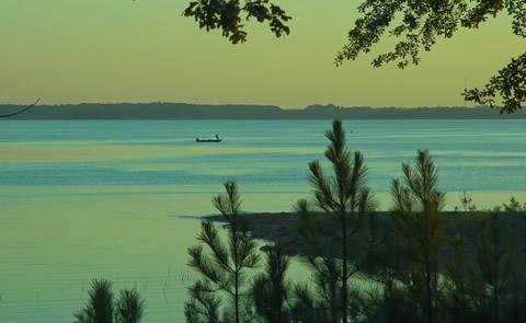
Seal Beach National Wildlife Refuge is located in southern coastal California and is 30 miles south of Los Angeles. It encompasses 911 acres of remnant saltwater marsh in the Anaheim Bay estuary and serves as a significant stopover and wintering area along the Pacific Flyway for shorebirds. As urban sprawl and population growth result in the loss and degradation of wildlife habitats, the refuge becomes an ever more vital resource to dwindling populations of native plants and animals. The refuge provides essential habitat for three endangered species, including the light-footed clapper rail, the California least tern, and the Belding’s savanna sparrow. Currently, access to the refuge is limited. Please visit our website for more information on current activities.