Directions
Please call the Southeast Louisiana Refuge Complex for directions at 985-882-2000.
Phone
985-882-2000
Activities
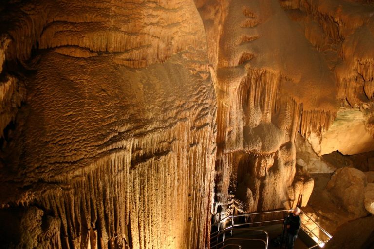
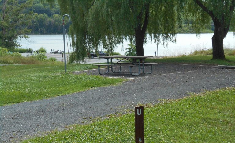
BOATING, FISHING
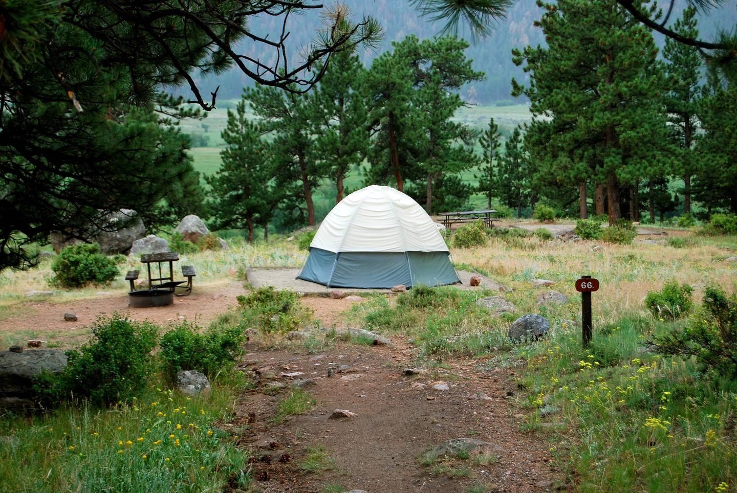
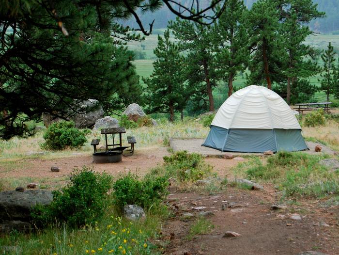
Camping Reservations
Reserve your campsite at these camping areas:
Hiking Trails
Looking for nice hiking areas to take a hike? Choose from these scenic hiking trails:
Related Link(s)
More Louisiana Recreation Areas
Established in 1907, Shell Keys National Wildlife Refuge (NWR) is one of the oldest refuges in the National Wildlife Refuge System. It is also a testimony to the fast eroding shoreline of Louisiana. Its boundary was and still is rather loosely described as “… a small group of unsurveyed islets located in the Gulf of Mexico about three and one half miles south of Marsh Island, LA, and approximately at latitude 29 degrees 26 minutes north, longitude 91 degrees 51 minutes west from Greenwich…” The boundary of the refuge has been interpreted to be those areas in this vicinity that are above mean high tide. For a number of years, there has been only one islet at this location. This islet is composed almost entirely of shell fragments. It is extremely dynamic and builds or recedes with passing storms. Vegetation is almost entirely lacking. Birds known to nest here include royal terns, sandwich terns, black skimmers, and laughing gulls. In addition, the islet is used at various times as a loafing area by white pelicans, brown pelicans, and various other species of terns and gulls. Recent hurricanes and storms have eroded the island to such an extent that no nesting has occurred since 1992. Public access to the refuge is restricted due to its remoteness.