Directions
Is located in eastern Garfield County, about 1 miles east of Escalante, Utah.
Phone
435-644-1200
Camping Reservations
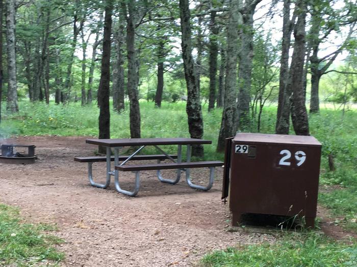
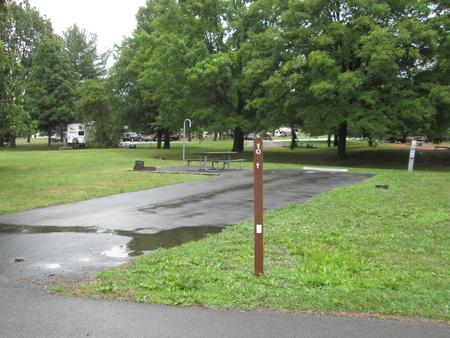
Reserve your campsite at these camping areas:
Hiking Trails
Looking for nice hiking areas to take a hike? Choose from these scenic hiking trails:
Related Link(s)
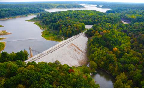
Steep walled canyons, mesas, benches, natural bridges, and arches characterize the area.The lower Calf Creek Falls trail in Calf Creek Canyon includes the area of the Calf Creek Canyon between the Lower Falls and the campground. This portion of Calf Creek Canyon includes approximately 200 acres with significant educational values.The Phipps-Death Hollow WSA, in the upper part of the Escalante River, has landscape features not found in the middle and lower portions of this drainage. For example, white and yellow Navajo sandstones are in greater abundance in the landscape and the canyons are the deepest in the drainage system.The Escalante River Canyon within the WSA is 1,100 feet deep between the mouth of Mamie Creek and the community of Escalante. The canyon walls are rough and broken, and the canyon is narrow and it meanders. The canyon is impressive throughout its length. Escalante Natural Bridge, a 130 foot high bridge with a span of 100 feet is in the south wall of the canyon. Four other natural bridges and arches are in the area.