Directions
From Interstate 15, take Exit 16 for State Hwy 9 toward Hurricane/Zion National Park. Keep right at the fork and merge onto State Hwy 9 (State St). Turn right on Main St. in downtown Hurricane, then turn left on E 100 S (Highway 59). Drive 24 miles on Highway 59 to Hildale, UT. Turn left on Utah Ave. Stay on Utah Ave as it curves left and becomes Canyon St. Turn right on Water Canyon Rd. and follow it to the trailhead at the end.
Phone
435-688-3200
Activities
BIKING, CAMPING, HIKING, HORSEBACK RIDING, WILDLIFE VIEWING, PHOTOGRAPHY
Camping Reservations
Reserve your campsite at these camping areas:
Hiking Trails
Looking for nice hiking areas to take a hike? Choose from these scenic hiking trails:
Related Link(s)
Canaan Mountain Wilderness Map
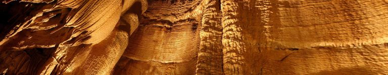
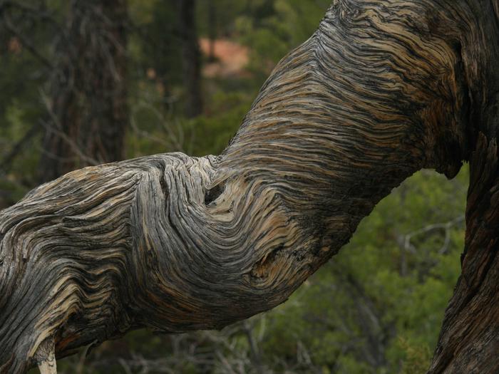
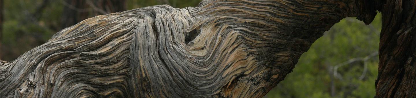
Adjacent to the southeast boundary of Zion National Park, Canaan Mountain Wilderness is comprised of approximately 44,500 acres of public land in Washington County. In this wilderness, an 8-by-10 mile block of Navajo Sandstone, bounded by 2,000-foot-high cliffs, has been sculpted by wind and water over time into a landscape of soaring cliff walls, natural arches, and slot canyons.
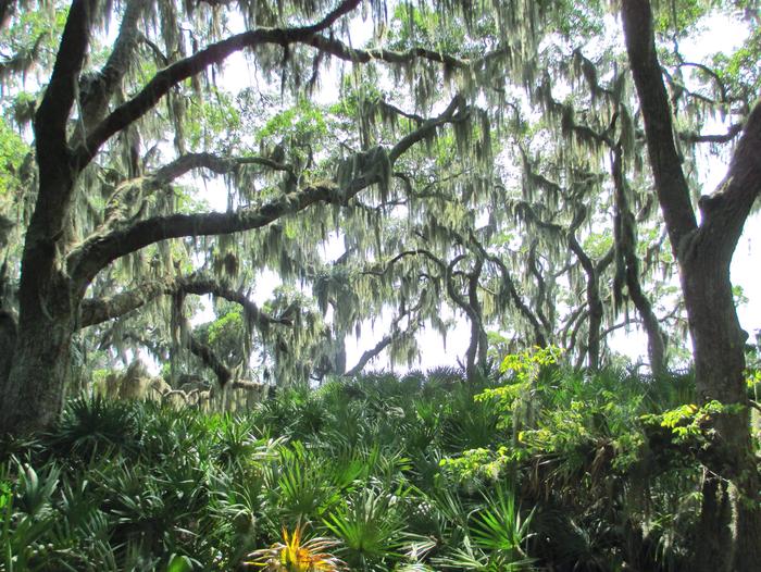
On the highest plateaus, stands of ponderosa pine are surrounded by cream-colored slickrock. Pinyon pine, Utah juniper, scrub oak, and sagebrush cover the mountain slopes, at lower elevations. Seeps in the canyon walls provide water for hanging gardens of maidenhair fern, monkeyflower, and columbine. Hawks, falcons, and golden eagles nest along the sandstone walls, while ringtailed cats, deer, cougar, and black bear live on the plateaus and in the canyon bottoms.
This wilderness provides opportunities for primitive recreational activities, including hiking, equestrian trail riding, canyoneering, and camping. Several routes exist on the southern end of the wilderness providing access to higher elevations by way of steep canyons.
The Sawmill trail, however, follows an historic logging route and traverses a large portion of the wilderness. Only one route is on the northern side and provides access to Eagle Crags at about 5,200 feet. All of these routes are primitive, not maintained on a regular basis, and not signed.