Sheets Gulch, Utah Camping & Hiking

Sheets Gulch, Utah Camping & Hiking

Sheets Gulch Image Gallery

Directions

13 miles south of State Route 24 along Notom Road

Phone

(435) 542-3461

Activities

CAMPING, HIKING, PHOTOGRAPHY

Camping Reservations

Reserve your campsite at these camping areas:

Utah Campgrounds

Hiking Trails

Looking for nice hiking areas to take a hike? Choose from these scenic hiking trails:

Utah Hiking Trails

Related Link(s)

More Utah Recreation Areas

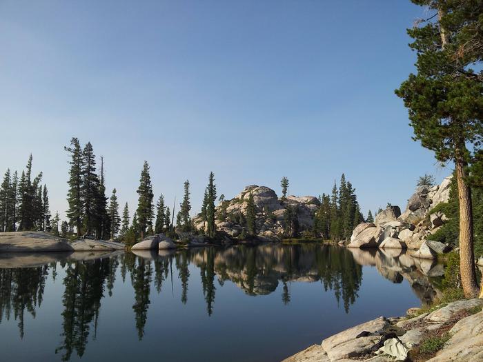
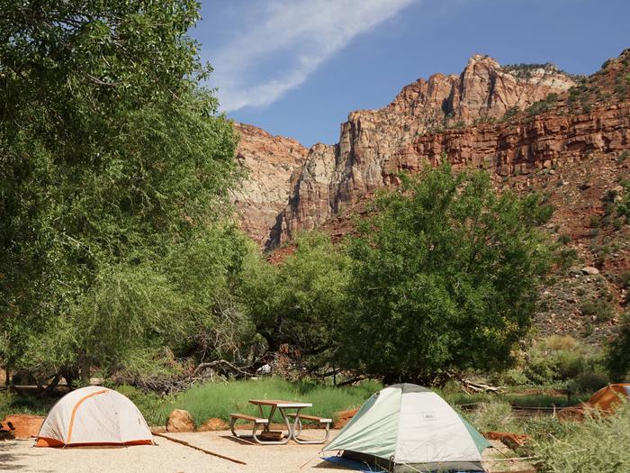
The first few miles of the east end side of Sheets Gulch is along a sandy wash bottom surrounded by low hills before coming up to the east side of the Waterpocket Fold in Capitol Reef National park. As with the other canyons in the area, Sheets Gulch is extraordinary in scenery and challenge. There are no devleoped facilities along the Notom Road, including at the Sheets Gulch Trailhead.

More from CampingHiking.net:

Bucks Lake Wilderness

St. Marks Wilderness, Florida Camping & Hiking

Directions The refuge’s Visitor Center and administrative office is located about 25 miles south of Tallahassee, FL. From Tallahassee, take SR 363 (Woodville Hwy) to Wakulla. Turn left (east) on

Fontenelle Reservoir, Utah Camping & Hiking

Directions All weather access. From Kemmerer, Wyoming, take U.S. Highway 189 North. From Green River take I-80 West to State Road 372 North. Phone 801-379-1000 Activities BOATING, HISTORIC & CULTURAL