Directions
17 miles south of Hanksville on State Route 95
Phone
(435) 542-3461
Activities
AUTO TOURING, HIKING, PHOTOGRAPHY
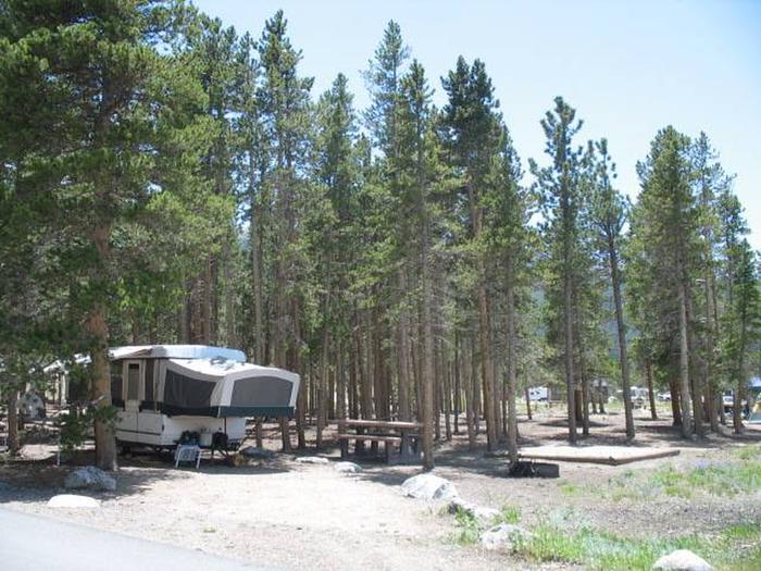
Camping Reservations
Reserve your campsite at these camping areas:
Hiking Trails
Looking for nice hiking areas to take a hike? Choose from these scenic hiking trails:
Related Link(s)
Poison Springs Road, a rough single-lane tract in some places, a well defined roadbed in others, is the only motorized route which crosses the Dirty Devil River between Hanksville and Hite on Lake Powell. Beginning at Utah Highway 95, it dips into a progressively narrower and steeper canyon, while descending through scenic sandstone formations as it follows Poison Springs creek. Once across the Dirty Devil River, the route follows the impressive and colorful Big Ridge in North Hatch Canyon, past Fiddler Butte to the boundary with the National Park Service’s Glen Canyon National Recreation Area. Poison Springs Road is frequently closed by washouts and high water levels and is not recommended for novices or most street-legal vehicles except high clearance ones. There are no developed facilities in the Poison Spring Canyon area.