Directions
Located along the east side of Keswick Reservoir between the Sacramento River Trail System (in Redding) and Shasta Dam. There are several trailheads that can be used to access this trail system. They can be found along Keswick Dam Road, Quartz Hill Road, Walker Mine Road, Flanagan Road, and at Shasta Dam.
Phone
530-224-2100
Activities
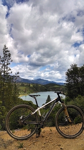
BIKING, HIKING, HORSEBACK RIDING
Camping Reservations
Reserve your campsite at these camping areas:
Hiking Trails
Looking for nice hiking areas to take a hike? Choose from these scenic hiking trails:
Related Link(s)
More California Recreation Areas
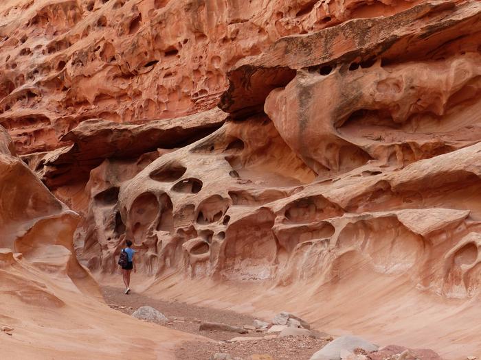
The area east of Keswick Reservoir has a network of over 25 miles of dirt single-track that connect Shasta Dam to the Sacramento River Trail. Most sections of trail offer gentle grades and are suitable for all age groups. There are several side trails that lead to vistas or access the reservoirs edge.
The Hornbeck Trail was the first trail segment in this network to be built and follows the path of a historic mining railroad on the east side of the river. It is named for a volunteer who was instrumental in its development. Volunteers unofficially named the trail segment for volunteer Chuck Hornbeck, a retired civil engineer and Shasta College engineering instructor, who was a leader in determining the trail route and recording important historic information. The trail segment follows the path of a historic mining railroad called the Old Diggings Railroad, the Quartz Hill Railroad, or the Mammoth Mine Railroad.” The rail line was used in the early 1900s to haul quartz used as flux for nearby copper smelting at Kennett (now under Shasta Lake).
The Upper Sacramento and Lower Sacramento Ditch trails follow the alignment of the historic Sacramento water ditch. The F.B. trail winds through some steep terrain and offers amazing views of Keswick Reservoir. The Chamise Peak trail climbs to the top of Chamise Peak where one is rewarded with an amazing 360 degree view of the surrounding area.