Directions
From Wheaton, 4 miles north on US 75, 4 miles west on MN 236.
Phone
(320) 563-4586
Activities
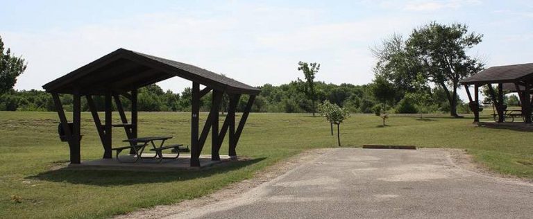
BOATING, FISHING, PICNICKING, WATER SPORTS, WILDLIFE VIEWING, PLAYGROUND PARK SPECIALIZED SPORT SITE
Camping Reservations
Reserve your campsite at these camping areas:
Hiking Trails
Looking for nice hiking areas to take a hike? Choose from these scenic hiking trails:
Related Link(s)
More Minnesota Recreation Areas
The Lake Traverse Project is a multipurpose project located on the Minnesota ? South Dakota border. The project consists of two dams, one dike and two lakes, Traverse and Mud. The main purpose of the project is to control flooding along the northward flowing Bois de Souix River, which joins the Ottertail River to become the Red River of the North. The significant feature of the project is the Browns Valley Dike on the south end of Lake Traverse, keeping it separate from Big Stone Lake. The dike sits on the continental divide, which marks the outlet of Glacial Lake Agassiz. Waters on the north side of the dike flow into Hudson?s Bay, and on the south, waters flow into the Minnesota River and on to the Mississippi River.

