Directions
Take I-15 south of Dillon and turn east at Monida (on the Montana/Idaho border) on County Road 509 which has widely variable conditions throughout the year depending on weather. (During most winters, the road is not plowed and is impassable except by snowmobile for over 40 miles to the Idaho border.) Watch for access points into the Centennial Mountains from the county road. Lakeview and the Red Rocks Lake National Wildlife Refuge are 27 miles east of Monida.
Phone
1 (406) 683-8000
Activities
FISHING, HIKING, HORSEBACK RIDING, WILDLIFE VIEWING, PHOTOGRAPHY
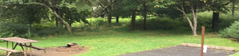
Camping Reservations
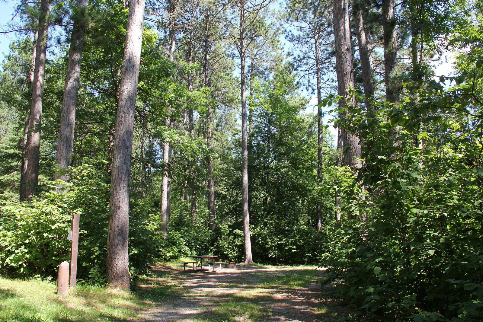
Reserve your campsite at these camping areas:
Hiking Trails
Looking for nice hiking areas to take a hike? Choose from these scenic hiking trails:
Related Link(s)
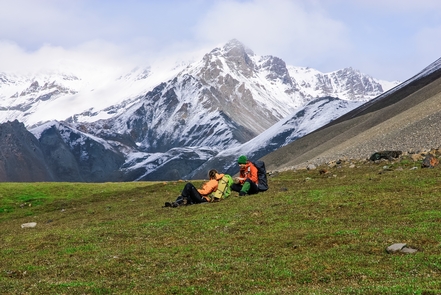
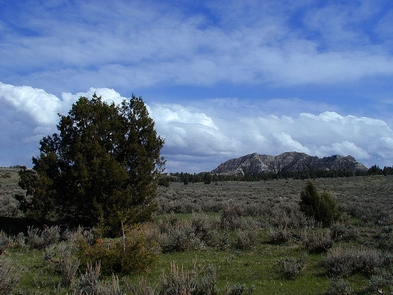
Centennial Mountains – This 28,000-acre mountain range, which forms the boundary between southwest Montana and Idaho, is some of southwest Montana™s wildest country. It is considered an important corridor for wildlife movement, providing an east-west trending mountain range connecting the Yellowstone Ecosystem with the rest of the northern Rocky Mountains.
Abundant wildlife in the Centennial Mountains include moose, elk, deer, wolverines, badgers, black bears, a wide variety of birds, and occasionally wolves and grizzly bears. Due to the presence of grizzly bears, proper food storage and carrying bear spray is encouraged. A variety of waterfowl, including trumpeter swans, can be found on the adjoining Red Rock Lakes National Wildlife Refuge.
About 60 miles of the 3,100-mile Continental Divide National Scenic Trail ( CDNST) runs through the mountain range. The CDNST through the Centennials is usually well-maintained, although natural events can change conditions rapidly. Several side trails provide access from both the Montana and Idaho sides of the CDNST. Wildflowers are especially abundant during the mid- to late summer.
CDNST travelers should be aware that guard dogs on the Sheep Experiment Station are very protective of the sheep herds and very aggressive toward domestic dogs (keep them leashed through Agricultural Research Service lands).
Activities:
Hiking, horseback riding, camping, fishing, wildlife viewing, photography. BLM lands in the Centennial Mountains are closed to mountain biking except on roads open to motorized vehicles.
Facilities:
Discreet signing identifies trailheads at Tipton-Winslow, Nemesis Mountain, and Red Rock Pass trailheads on the Montana side of the divide. Limited parking is available.
Season/Hours:
The Centennial Mountains are open year-round subject to seasonal motorized travel restrictions. Except for a few short access routes, the entire Centennial Mountain Range is closed to motorized use yearlong. The county road from Monida to Red Rock Pass may be impassable to wheeled vehicles in the winter depending on snow conditions.
Camping on undeveloped BLM-administered lands
- Camping is limited to 16 consecutive days at any one location
- Use only certified weed-free forage
- Pack out all refuse unless trash cans are provided
- Dispose of sewage and petroleum products properly
- All vehicles, including OHVs, must stay on roads and trails
- Use only down and dead firewood for campfires