Directions
From the Town of Rangely, CO there are two entrances. The western entrance is reached by traveling from State Highway 64 to River Rd, which is by the Loaf N Jug Gas Station. Travel on River Rd, which becomes County Road 2 for approx. 2.75 miles. Turn left onto BLM Road 1072. There is a kiosk with information about the park just off the road and a parking area. The eastern entrance is reached by traveling south off State Highway 64 onto White Ave. at the only stop light in town. Travel on White Ave, which become County Road 23 for approx. 1.25 miles. Turn right just after the Elks Club Shooting Range on the left.
Phone
970-878-3800
Activities
OFF HIGHWAY VEHICLE
Camping Reservations
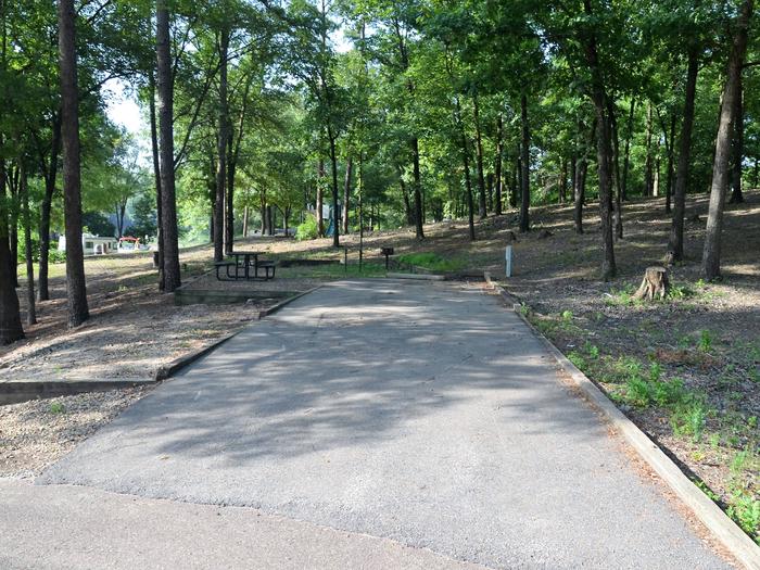
Reserve your campsite at these camping areas:
Hiking Trails
Looking for nice hiking areas to take a hike? Choose from these scenic hiking trails:
Related Link(s)
More Colorado Recreation Areas
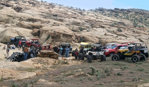
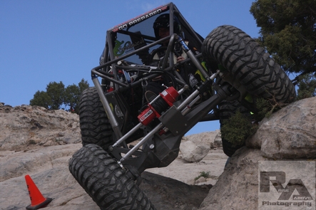
Just a few miles southwest of the town of Rangely is the only designated natural rock crawling park in the state of Colorado. With more than 560 acres of natural terrain designated by the Bureau of Land Management as a four-wheel drive park. Entrance to the park is free. Rock crawling and four-wheel drive enthusiasts can take on trails like the Megasaurus, Chain Break, Poison Ivy and Willy?s Way. The park consists of one main trail with the park broken up into four sections. Trails range from easy to extreme.Two events are held annually. For information and a map of the trails go to www.rangelyrockcrawlers.com or contact the BLM. For more information, please contact the White River Field Office.


