Directions
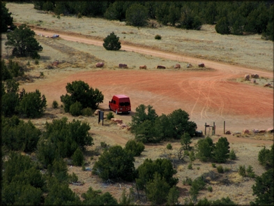
LOCATION: 9 miles north of Canon City, Colorado, off of U.S. Hwy 50 and Fremont County Road 69. From Canon City head west on U.S. Hwy 50 for approximately 3.5 miles, turn right onto Fremont County Rd 69. Travel north for approximately 8 miles. The trailhead will be on your right.
Phone
(710) 269-8500
Activities
HORSEBACK RIDING, OFF HIGHWAY VEHICLE
Camping Reservations
Reserve your campsite at these camping areas:
Hiking Trails
Looking for nice hiking areas to take a hike? Choose from these scenic hiking trails:
Related Link(s)
More Colorado Recreation Areas
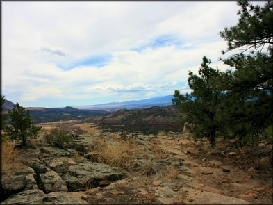
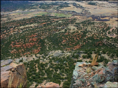
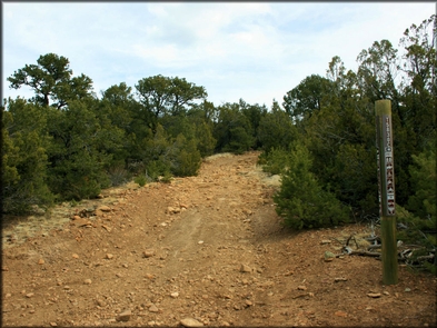
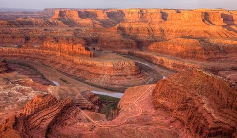
Seep Springs Recreation Area is located near Canon City offering fun and challenging trails combined with outstanding views. High points along the 16 miles of roads and trails give the visitor open ranchland views as they wind through pinon and juniper woodlands and ponderosa pine forests with sandstone rocks throughout the area. ATVs, motorcycle, four wheeler and horseback riding are common recreation activities for Seep Springs. The area has trail map information and ample parking space for trailers. Wet weather gates close the area to motorized use during wet conditions. For more information, please contact the Royal Gorge Field Office.

