Directions
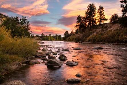
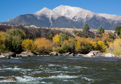
The National Monument is centered along the Arkansas River between the communities of Buena Vista and Salida.
Phone
719-539-8500
Activities
CAMPING, FISHING, HIKING, HORSEBACK RIDING, HUNTING, WATER SPORTS, WILDLIFE VIEWING, PHOTOGRAPHY
Camping Reservations
Reserve your campsite at these camping areas:
Hiking Trails
Looking for nice hiking areas to take a hike? Choose from these scenic hiking trails:
Related Link(s)
More Colorado Recreation Areas
Plan Your Visit to Browns Canyon National Monument
Arkansas River Rafting through Browns Canyon National Monument
New Browns Canyon National Monument protects southern Colorado recreation gem
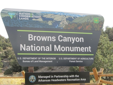
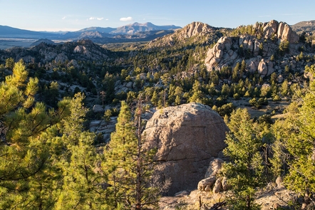
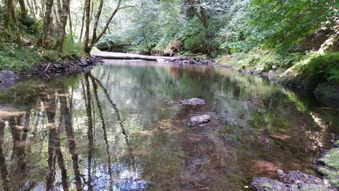
Browns Canyon National Monument , a 21,586 acres (8,736 ha) national monument in Chaffee County, Colorado was designated as such by President Barack Obama under the Antiquities Act on February 19, 2015. For centuries, the granite cliffs, colorful rock outcroppings and stunning mountain vistas of Browns Canyon National Monument have attracted visitors from around the world. The areas unusual geology and roughly 3,000- foot range in elevation support a diversity of life and a wealth of geological, ecological, riparian, cultural and historic resources. The Arkansas River borders Browns Canyon NM and is one of the nation™s most popular whitewater rafting destinations. The Browns Canyon river segment provides a unique rafting experience allowing visitors to enjoy solitude while taking in the scenery of the area. Anglers can test their skills at catching brown and rainbow trout on this stretch of Gold Medal Trout Waters. For more information, please contact the Royal Gorge Field Office.

