Directions
From I-70, take Silt Exit 97 and head north. At round-about, turn west on Highway 6 and then turn north (right) onto N. 7th Street. Continue north and curve right on Peach Valley Road (County Road 214) for 2.1 miles. Turn north on Bendetti Road (County Road 250). Go 1 mile and the entrance to Silt Mesa is on the northeast when Bendetti Road turns west.
Phone
970-876-9000
Activities
HIKING, HORSEBACK RIDING, OFF HIGHWAY VEHICLE
Camping Reservations
Reserve your campsite at these camping areas:
Hiking Trails
Looking for nice hiking areas to take a hike? Choose from these scenic hiking trails:
Related Link(s)
More Colorado Recreation Areas
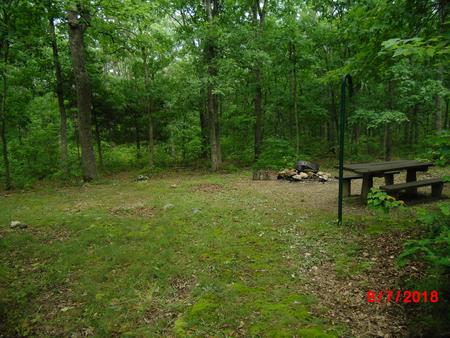
The Silt Mesa Extensive Recreation Management Area near Silt, Colorado is nestled below the Grand Hogback providing opportunities for OHV riding, hiking and horseback riding. Due to the close proximity to neighborhoods the area is closed to target shooting. For more information, please contact the Colorado River Valley Field Office.

