Directions
The Strawberry area is located approximately .5 miles North of Tabernash, East of U.S. 40off of County Road 84. Turn East onto CR 83, Following it for .5 mile. Turn North onto County Road 84 for .75mile. Turn West onto BLM Road 2751 for .75 mile to the Hurd Peak Trailhead parking area.
Phone
970-724-3000
Activities
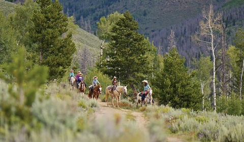
BIKING, CAMPING, HIKING, HORSEBACK RIDING, HUNTING
Camping Reservations
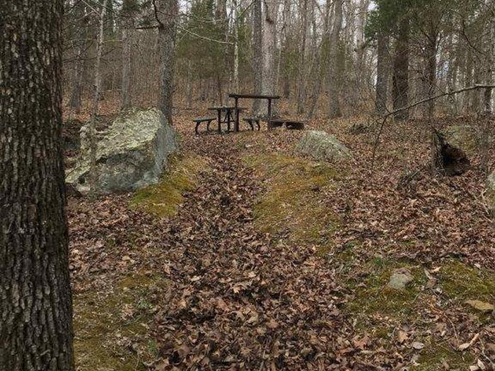
Reserve your campsite at these camping areas:
Hiking Trails
Looking for nice hiking areas to take a hike? Choose from these scenic hiking trails:
Related Link(s)
More Colorado Recreation Areas
The Strawberry area includes approximately 8 miles of Single-track, non- motorized trails that are collectively known as the Phases. These Trails are interconnected with 10.5 miles of roads, creating a stacked-loop network that offers a variety of bicycle riding options. Bicycles and Motorized vehicles are restricted to designated roads and trails only. Watch for signs indicating allowable uses on specific routes. For more information, please contact the Kremmling Field Office.


