Directions
545 A Bottomless Lakes Road
Roswell, NM 88201
Make a reservation on the New Mexico State Parks reservation website.
Phone
575-624-6058
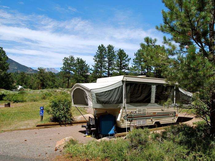
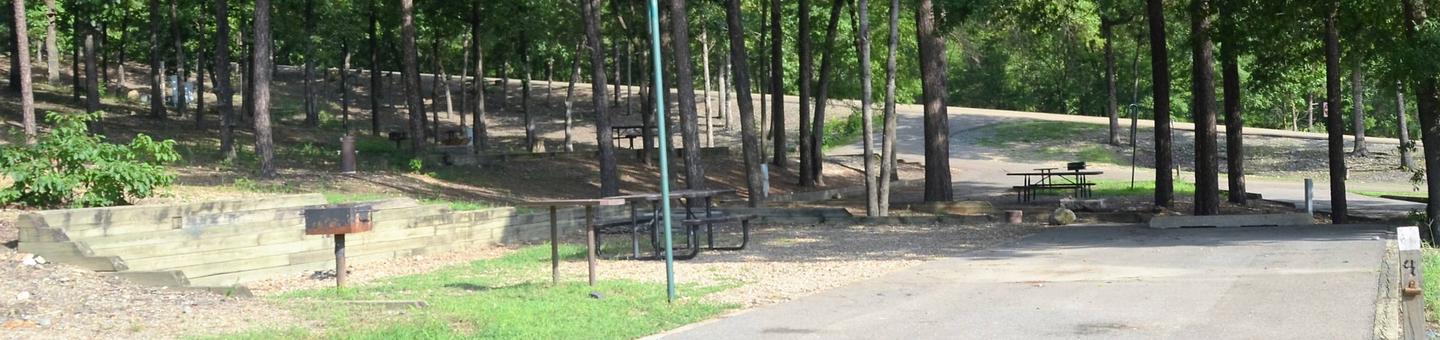
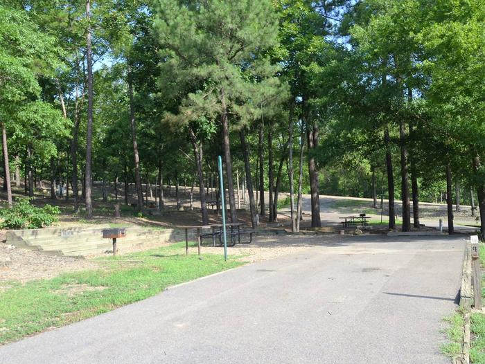
Camping Reservations
Reserve your campsite at these camping areas:
Hiking Trails
Looking for nice hiking areas to take a hike? Choose from these scenic hiking trails:
Related Link(s)
More New Mexico Recreation Areas
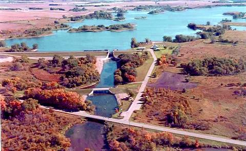
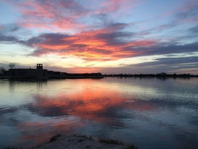
Bottomless Lakes was established in 1933, it was the first state park in New Mexico. It takes its name from nine small, deep lakes located along the eastern escarpment of the Pecos River Valley. Vaqueros (Cowboys) who could not find the bottom of the lakes reportedly gave them their name. They would tie two or three ropes together and drop them into the lakes to try and reach bottom. The ropes were not long enough, so the vaqueros thought the lakes were bottomless! The greenish blue color created by algae and other aquatic plants also added to to the illusion of great depth.
The historic Lea Lake Pavilion and water tower were built in the 1930s by the Civilian Conservation Corps during the Great Depression and is a unique blend of architectural styles en vogue during that time, including Park Service Rustic, New Mexico/Santa Fe, and Territorial.
Enjoy non-motorized boating in your kayak or canoe, camp, fish, picnic, swim, hike, go birding or even scuba dive! The unique lakes at this park are sinkholes, ranging from 17 to 90 feet deep. Bottomless Lakes offers visitor center, camping, allows horseback riding, showers, group shelters, electric hook-ups, restrooms, dumping stations, boating/boat ramps, fishing, playground, trails, and R.V./Pull through sites.
Park Elevation 3,617 ft
Make a reservation on the New Mexico State Parks reservation website.