Directions
327 Highway 61
Faywood, NM 88034
Make a reservation on the New Mexico State Parks reservation website.
Phone
575-536-2800
Camping Reservations
Reserve your campsite at these camping areas:
Hiking Trails
Looking for nice hiking areas to take a hike? Choose from these scenic hiking trails:
Related Link(s)
More New Mexico Recreation Areas
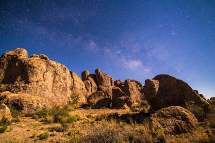
City of Rocks gets its name from the incredible volcanic rock formations found here. The park encompasses a one square mile area in the scenic Chihuahuan desert region of southwestern New Mexico at an elevation of 5,200 feet. The city is a geologic formation made up of large, sculptured rock columns, or pinnacles, rising as high as 40 feet and separated by paths or lanes resembling city streets. These rocks were formed about 34.9 million years ago when a very large volcano erupted. Then, erosion over millions of years slowly formed the sculptured columns seen today, creating a stunning, otherworldly landscape.
Evidence has been found around the park indicated that people have lived in this area for thousands of years. In the Mid 1800s the Butterfield Trail stagecoach line passed near the park. Hispanic and Euro-American settlers have farmed the Mimbres valley since that time.
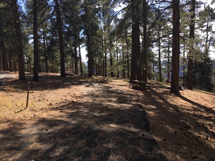
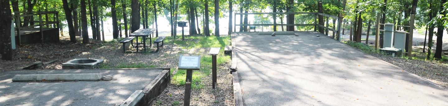
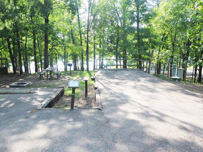
Located about halfway between Silver City and Deming, City of Rocks offers camp sites, hiking trails, excellent mountain biking, wildlife viewing, birding, stargazing, picnic areas and a desert botanical garden. The uniquely designed visitor center includes a large display area and modern restrooms with hot showers. Numerous trail systems are available at the park including the brand new trail up to the top of Table Mountain and the new trail to the Cienega.
Park Elevation is 5,259 ft
Make a reservation on the New Mexico State Parks reservation website.