Directions
From Sweet Home, Oregon go east on U.S. Highway 20. Approximately one mile out of town turn left on the Quartzville Access Road heading towards Green Peter Reservoir and Quartzville Creek. Old Miners Meadow is located approximately 25 miles up the road on the right, about one mile past Yellowbottom Recreation Site.
Phone
503-897-2406
Activities
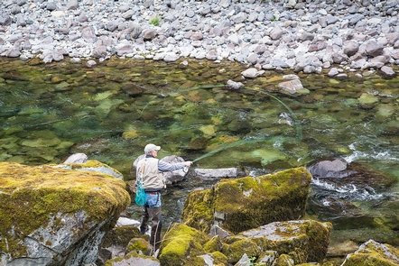
AUTO TOURING, CAMPING, FISHING, PICNICKING, DAY USE AREA, PHOTOGRAPHY, PADDLING, SWIMMING
Camping Reservations
Reserve your campsite at these camping areas:
Hiking Trails
Looking for nice hiking areas to take a hike? Choose from these scenic hiking trails:
Related Link(s)
Flickr Album of the Quartzville Creek Wild and Scenic River
The Quartzville National Back Country Byway
Quartzville Creek Wild and Scenic River at rivers.gov
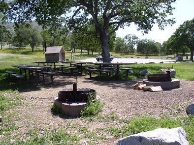
Reserve Old Miner’s Meadow Group-Use Area
Quartzville Creek Wild and Scenic River on YouTube
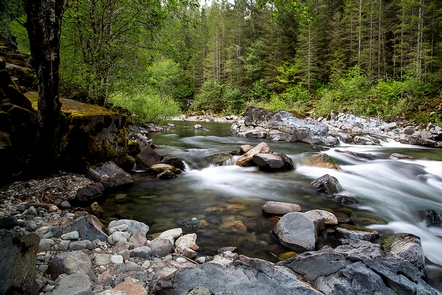
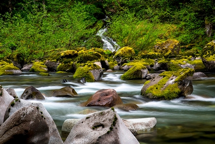
Tranquility and water both flow in the wild and scenic Quartzville Creek, where one may hike, camp, fish or simply gaze into the mesmerizing, cascading waters. Quartzville Creek is named for the gemstone that has been mined in the area and a ghost town that was once the center of two brief gold mining efforts in the late 1800s.
Know Before You Go:
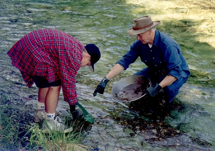
- Recreational mining is allowed along the BLM portion of the Quartzville Back Country Byway.
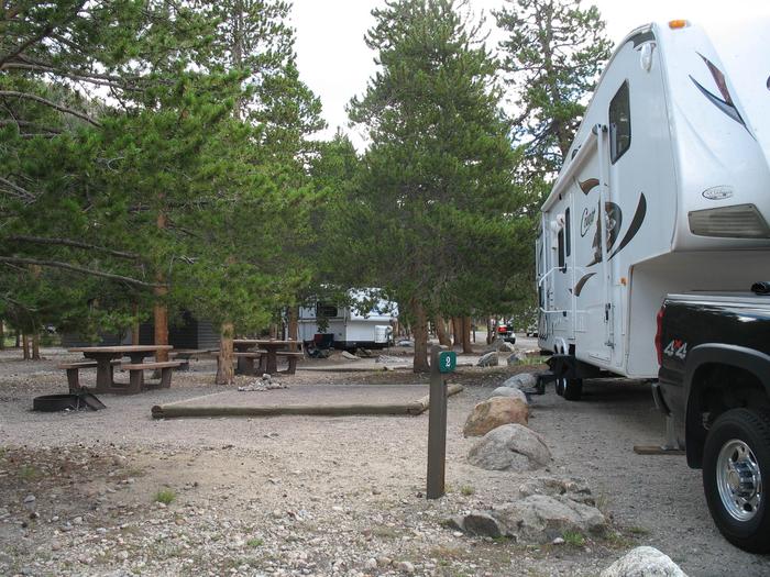
- Camping is limited to designated campsites. It is available on a first-come, first-serve basis.
- Fires are limited to the steel fire rings or grills provided. Firewood collection is NOT allowed at developed campgrounds.
- Pack it in; pack it out at non-developed campsites.
Point of Interest:
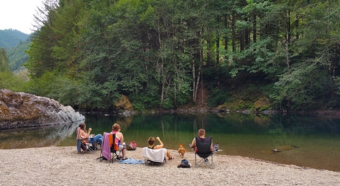
The Quartzville Back Country Byway parallels the winding river, offering views of old-growth forests and wildlife, and provides easy access to developed and undeveloped picnic and camping sites.
Quartzville Recreation Corridor and Back Country Byway Brochure

