Directions
Steelhead Falls Trail: From Terrebonne, turn west on Lower Bridge Road and proceed 2.2 miles to NW 43rd St. Turn right and drive 1.8 miles to NW Chinook Drive. Turn left at the 2nd cross street onto SW Badger Road and go 1.8 miles to SW Quail Drive and proceed another 1.2 miles. Turn left onto SW River Road and drive 1.0 mile to the trailhead.
Scout Camp Trail: From Terrebonne, turn west on Lower Bridge Road and proceed 2.2 miles to NW 43rd St. Turn right and drive 1.8 miles to NW Chinook Drive. Drive 2.4 miles and turn left onto Mustang Rd and proceed another 0.2 miles. Turn right to stay on Mustang Rd and go another 0.5 miles. Turn right to stay on Mustang Rd for another 0.4 miles and turn right onto SW Shad Rd. Drive 1.4 miles to SW Peninsula Drive and turn right; drive another 3.2 miles turning left onto SW Meadow Rd and proceed another 0.6 miles turning right onto SW Scout Camp Trail. In another 0.3 miles, Scout Camp Trailhead will be at the end of the road.
Phone
541-416-6700
Activities
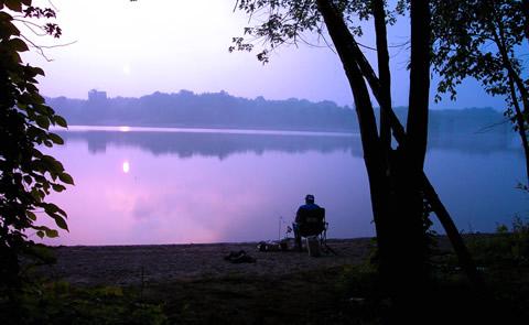
CAMPING, FISHING, HIKING, WILDLIFE VIEWING, PHOTOGRAPHY
Camping Reservations
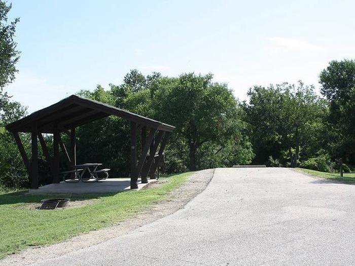
Reserve your campsite at these camping areas:
Hiking Trails
Looking for nice hiking areas to take a hike? Choose from these scenic hiking trails:
Related Link(s)
Seven Principles of Leave-No-Trace
Middle Deschutes Wild and Scenic River at rivers.gov
Friends and Neighbors (FANs) of the Deschutes Canyon Area
Overview:
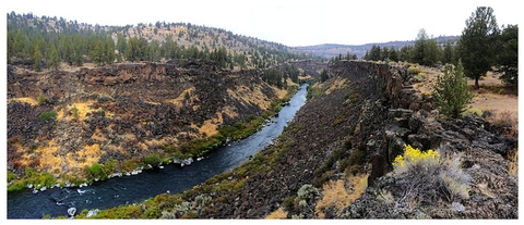
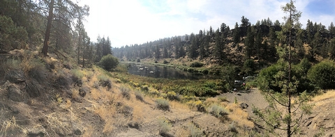
Just minutes northwest of the fast-growing urban environment of Redmond, Oregon, a deeply incised river canyon confines the riffles and rapids of the Middle Deschutes Wild and Scenic River. Delight in the trailside pool at Steelhead Falls or challenge yourself to a short but strenuous hike at Scout Camp trail.
Know Before You Go:
- Although public access to the river is ample, be sure to avoid intermingled private property when visiting the Middle Deschutes River.
- Campfires are prohibited within 0.5 mile from the river™s edge from June 1 through October 15, annually.
- Pets are allowed but should be leashed to prevent wildlife confrontations.
- When recreating, practice Leave-No-Trace principles
Point of Interest:
For a spectacular hike through geologic time-and colorful volcanic rock layers-check out the Steelhead Falls Trail.

