
Directions
From Enterprise, Oregon: Drive west 31 miles on State Highway 82. The highway crosses the Wallowa River at Minam, Oregon and is a common starting point for Grande Ronde river adventures.
Phone
541-473-3144
Activities
CAMPING, FISHING, HIKING, HUNTING, WILDLIFE VIEWING, SWIMMING SITE, PADDLING
Camping Reservations
Reserve your campsite at these camping areas:
Hiking Trails
Looking for nice hiking areas to take a hike? Choose from these scenic hiking trails:
Related Link(s)
Video: Grande Ronde Wild and Scenic River!
Grande Ronde Wild and Scenic River at rivers.gov
Photo Album: Grande Ronde Wild and Scenic River
Overview:
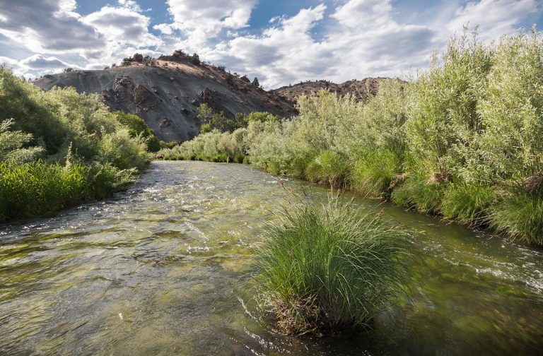
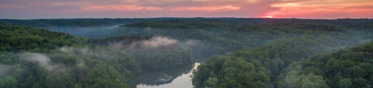
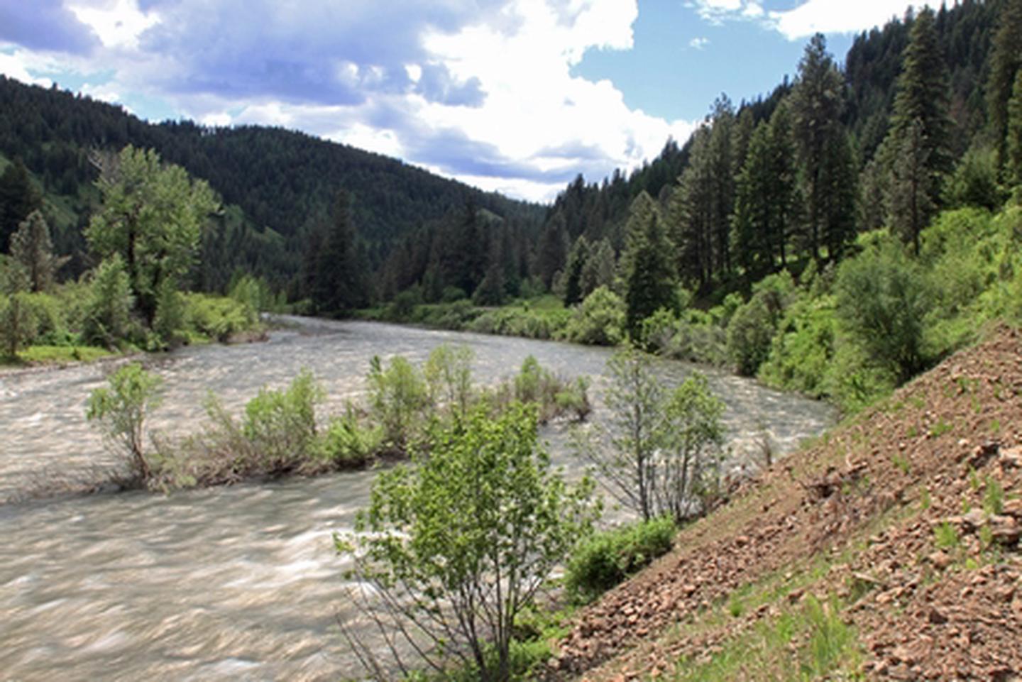
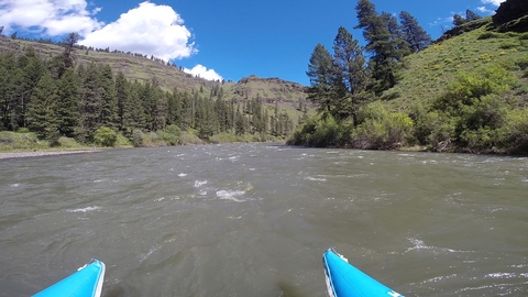
The Grande Ronde Wild and Scenic River encompasses 43.8 miles of primitive river corridor with outstanding opportunities for wildlife viewing. Many boaters start their trip on the Wallowa River at Minam, Oregon, a tributary of the Grande Ronde river. Trips launched from here typically last 2 to 3 days, although shorter or longer trips are possible with proper planning. Other river access points include Wildcat (or Powwatka) Bridge, Mud Creek, Troy, and Boggan™s Oasis.
Because the rivers are free-flowing, water level and river character can change suddenly and dramatically. Typical river levels during the primary floating season range between 2,000 and 10,000 c.f.s. (cubic feet per second). High, fast water conditions usually occur in the spring and early summer as warmer temperatures and rainfall melt mountain snow. Shallow, slower conditions typically occur by mid-July and remain through the fall and winter months, with less water and more exposed rocks being common. Boaters are strongly advised to obtain up-to-date river conditions and weather information when planning their trip. Visitors wishing to avoid crowds are advised to plan their trip to avoid all weekends and holidays between May and July.
Know Before You Go:
- Free, self-issued river permits area required for all boating on the Grande Ronde & Wallowa rivers
- Primitive, undeveloped river camping is available on a first-come, first-serve basis. Visitors are required to follow low impact, Leave No Trace practices to minimize the traces of their stay and help preserve the natural resources. Mandatory fire pan and portable toilet use, as well as packing out all garbage and treading lightly on vegetation, helps keep the river corridor clean and healthy for present and future generations. Heavily impacted areas can often lead to further restrictions, and may need to be temporarily closed until they can recover.
- No amenities or improvements exist in much of the river corridor. Natural and man-made hazards exist, including falling trees, rapids, wildlife, bridge abutments, inclement weather, and rugged terrain. Search and rescue assistance in the canyons is very difficult, dangerous, costly, and time-consuming.
Point of Interest:
The Grande Ronde River corridor provides an exceptional diversity of species affording excellent viewing opportunities for game and nongame species. Major species include waterfowl, herons, shorebirds, raptors, upland birds, perching birds, river otters, mink, black bear, bobcat, turkey, and mountain lion. The is also a highly sensitive wintering area for the bald eagle, bighorn sheep, elk, mule deer, and whitetail deer. Because of these and other values, much of the river corridor has been designated an Area of Critical Environmental Concern.