Directions
The byway is 80 miles west of Phoenix or 40 miles southwest of Wickenburg. From Phoenix, take I-10 west to the Salome Road Exit (50 miles). Turn right and follow for 9.6 miles to Eagle Eye Road. Turn right and go 8.5 miles to the byway which heads north towards the summit. Or travel north on I-17 to the Carefree Highway exit, turn left on H-74, heading west past Lake Pleasant, to H-60. Turn right and head northwest to Wickenburg. From Wickenburg, continue on H-60 (which veers west), to Aguila. Turn right, heading south, on Eagle Eye Road 18.5 miles to the byway heading 10.5 miles north climbing the summit.
Phone
(623) 580-5500
Activities
AUTO TOURING, HISTORIC & CULTURAL SITE, WILDLIFE VIEWING
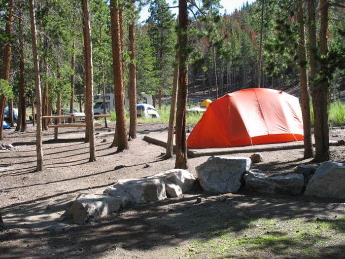
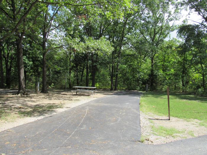
Camping Reservations
Reserve your campsite at these camping areas:
Hiking Trails
Looking for nice hiking areas to take a hike? Choose from these scenic hiking trails:
Related Link(s)
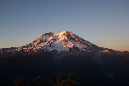
The Harquahala Mountain Summit Road offers something for everyone! The road itself is rugged and challenging for OHV enthusiasts. For the nature lover it has beautiful Sonoran Desert scenery with blooming flora March through May and distinct ecosystem variations can be seen with changes in elevation. In addition to the typical desert reptiles and critters which can be encountered, bighorn sheep may also be spotted. For the scenic enthusiast, the summit is the highest point in southwest Arizona with breathtaking 360 degree vistas. For hikers, a pack trail leads from the summit down the mountain through the Harquahala Wilderness Area designated in The Arizona Desert Wilderness Act of 1990. The trail has several difficult and steep portions. For the history buff, the drive displays old mining debris, shafts and stone houses from earlier miners. The grand finale is realized at the summit with the Harquahala Peak Observatory. The observatory was built by the Smithsonian in 1920 to measure and record solar activity. It was abandoned in 1925 and in 1975 was listed on the National Register of Historic Places and has since been stabilized.