
Directions
Southeast Missouri. From St. Louis, travel south 32 miles on I-55 to U.S. 67. Continue south 88 miles to Greenville. Turn left on Highway D, travel south 20 miles.
Phone
(573) 222-8562
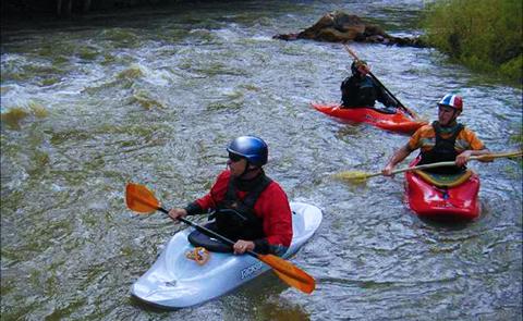
Activities
BIKING, BOATING, HISTORIC & CULTURAL SITE, CAMPING, FISHING, HIKING, PICNICKING, VISITOR CENTER, WATER SPORTS, WILDLIFE VIEWING, PLAYGROUND PARK SPECIALIZED SPORT SITE, OTHER RECREATION CONCESSION SITE, HOTEL/LODGE/RESORT PRIVATELY OWNED, ENVIRONMENTAL EDUCATION
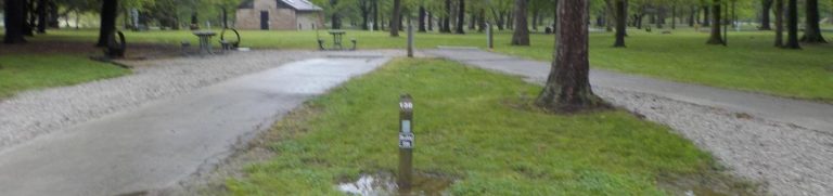
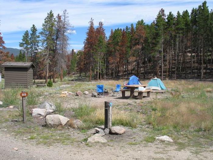
Camping Reservations
Reserve your campsite at these camping areas:
Hiking Trails
Looking for nice hiking areas to take a hike? Choose from these scenic hiking trails:
Related Link(s)
More Missouri Recreation Areas
Wappapello Lake, MO is a 45,000-acre project nestled in the foothills of the Ozark Mountains on the St. Francis River in Southeast Missouri. Completed in 1941, Wapppapello Lake annually provides an estimated $3.9 million in flood protection to agricultural lands and developed areas along the St. Francis River. In 1996, the mascot Ranger Willie B. Safe was created at Wapppapello Lake as part of a water safety awareness campaign. Selected as the 1999 Natural Resources Project of the Year, Wappapello Lake averages nearly 2.5 million visitors per year.