
Directions
Located on the Wisconsin side of the river, adjacent to the town of Trempealeau and just south of Perrot State Park. This project is just a few blocks off of WI State Highway 35, part of the Great River Road. W24005 Lock and Dam Road, Trempealeau, WI.
Phone
(507) 895-6341
Activities
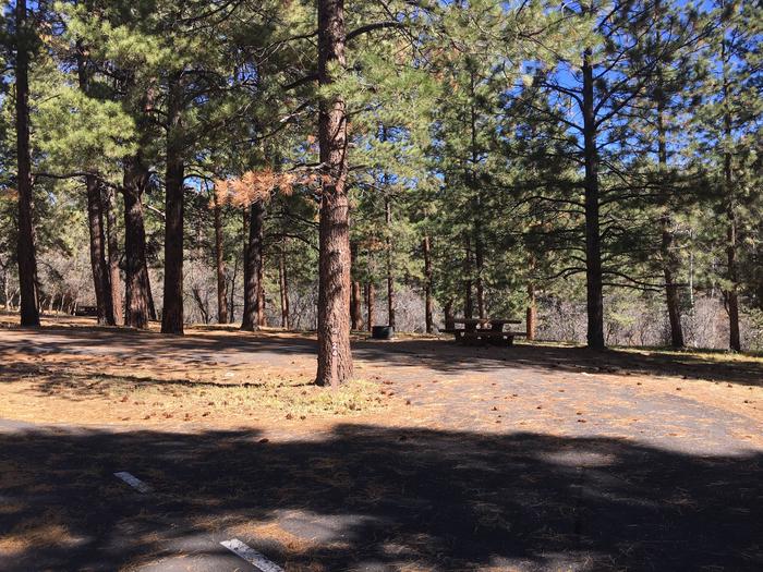
BOATING, PICNICKING, WATER SPORTS, WILDLIFE VIEWING, PLAYGROUND PARK SPECIALIZED SPORT SITE, OTHER RECREATION CONCESSION SITE
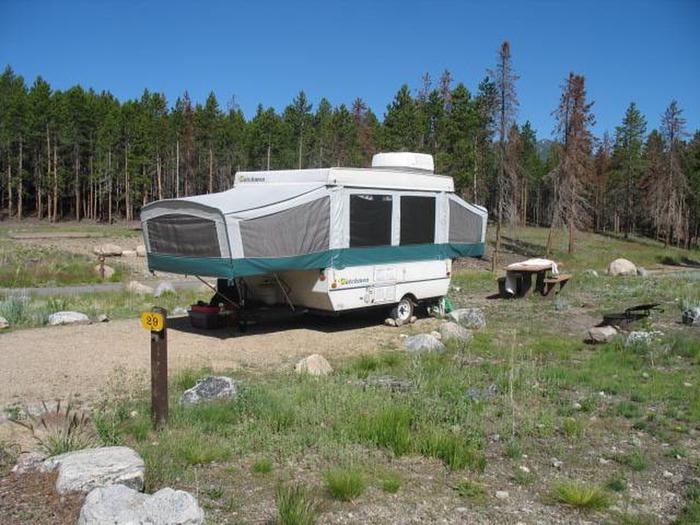
Camping Reservations
Reserve your campsite at these camping areas:
Hiking Trails
Looking for nice hiking areas to take a hike? Choose from these scenic hiking trails:
Related Link(s)
More Wisconsin Recreation Areas
Mississippi River – Pool 6 Website
Oak Tree HouseOfficial Web Site
Located within the scenic Upper Mississippi River Valley between Trempealeau, WI and Dresbach, MN. Project lands are located within the Corps of Engineers Nine Foot Navigation Project and the Fish and Wildlife Service Upper Mississippi River National Wildlife and Fish Refuge. The Main channel provides deep draft boating opportunities while the backwaters provide a wilderness area atmosphere for the smaller shallow draft boats. There is an observation platform for visitors to watch lock operations and see towboats and barges up close. Authorized in 1930 to provide a 9-foot navigation channel between Minneapolis – St. Paul, MN and St. Louis, MO, the Upper Mississippi River Project offers extensive opportunities for water-based recreation, ranging from backwater hunting and fishing to long-distance cruising in the main channel. In the St. Paul District, the project flows through three National Wildlife Refuges, the Mississippi National River and Recreation Area, many State and local wildlife and recreation areas. Designated an American Heritage River, it offers visitors many recreational opportunities, including sightseeing along the river, visiting quaint river towns, viewing the wooded bluffs along the river, and watching bald eagles soaring.