Directions
It will take just over one hour to drive the 55 miles from Hawthorne, Nevada to the turn-off to Marietta. Travel south from Hawthorne on Interstate Highway 95. Turn southwest onto State Route 360 towards Benton California. Then turn west onto the maintained dirt county road to Marietta. You can also reach the Marietta Wild Burro Range by traveling north on Highway 95 from Tonopah. Take Highway 6 west to the 360 turn-off. Continue north to the Marietta turn-off.
Phone
775 885 6109
Activities
AUTO TOURING, HISTORIC & CULTURAL SITE, WILDLIFE VIEWING
Camping Reservations
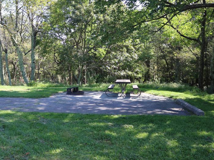
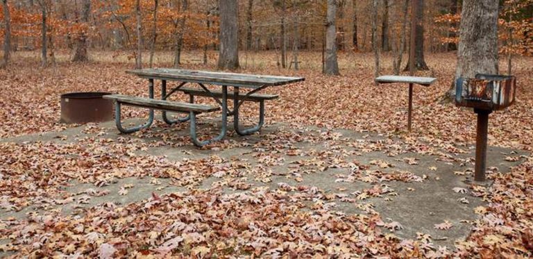
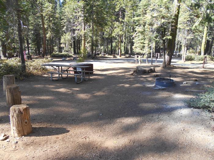
Reserve your campsite at these camping areas:
Hiking Trails
Looking for nice hiking areas to take a hike? Choose from these scenic hiking trails:
Related Link(s)
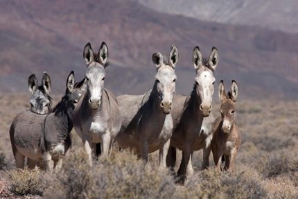
Located in Mineral County, Nevada, Marietta is the Nation’s first formally recognized Wild Burro Range. The 68,000-acre range is managed for between 78-104 wild burros (Equus asinus asinus). The burros roam freely near the ruins of the historic Nevada mining town of Marietta and the seasonally changing Teels Marsh. The Marietta Wild Burro Range was publicly dedicated in 1991– the 20th anniversary of passage of the Wild Free-Roaming Horses and Burros Act. Designation as a Wild Burro Range means the area may be managed “principally”, but not necessarily exclusively, for wild burros. This is a national designation conferred by the Director of the Bureau of Land Management (BLM). One reason for this area’s designation as a range is the unique opportunity available for public viewing of the herd and its habitat. The range is located south east of Hawthorne, Nevada. The area includes nearly 66,500 acres of public land. Patented mining claims around Teels Marsh and the Marietta mining district account for 1,500 acres of private lands within the area. Enjoy viewing the burros, but DO NOT attempt to chase or feed them. Take along a pair of binoculars to see the burros “UP CLOSE”. Some of the property in Marietta is private. The residents would appreciate your respect. Leave things as you find them, and take all your own trash with you. You’re Way Out There, So Plan Ahead and Be Safe! The closest town to Marietta is Mina, Nevada approximately 30 miles to the north on Highway 95. Unlike the wild burro, you will not have time to adapt to the ever-changing environment. Take food, plenty of drinking water (two gallons per person per day), warm clothes and a hat. Check your vehicle’s spare tire and fuel gauge before venturing down the dirt roads. Lastly, this is an old mining district. Open mine shafts, shaky buildings, unstable rock ruins and rattlesnakes are common. LOOK before you STEP, TOUCH or CAMP.

