Directions
From St. George, Utah via South River Road. Head south on BLM Road 1069 towards County Road 5 for 38 miles. Continue left on County Road 5 for 12 miles. Turn left at the Mt. Trumbull Schoolhouse. Continue east for 12 miles. The Mt. Trumbull Trailhead is on the left side of the road.
Phone
(435) 688-3200
Activities
AUTO TOURING, HISTORIC & CULTURAL SITE, HIKING, WILDLIFE VIEWING
Camping Reservations
Reserve your campsite at these camping areas:
Hiking Trails
Looking for nice hiking areas to take a hike? Choose from these scenic hiking trails:
Related Link(s)
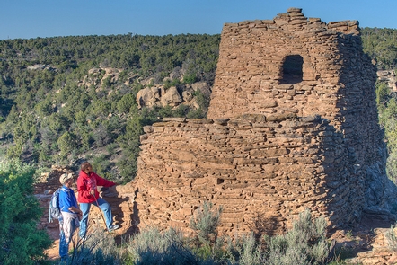
Mt. Trumbull is centered in the Uinkaret Mountains, just north of the Grand Canyon. The area contains basalt flows and cinder cones draped with ponderosa pine, pinyon pine, and juniper. Tassel-eared Kaibab squirrels and wild turkeys are abundant. There are opportunities to hike the Mt. Trumbull Trail, take a scenic drive, see wildlife, visit historic sites, and appreciate the beauty of the Mount Trumbull Wilderness Area.

