Directions
The 66 mile Burr Trail connects Boulder, UT on Highway 12 with Bullfrog Road near the southern end of Capitol Reef National Park and on Highway 276 near Bullfrog Marina.
Phone
(435) 826-5499
Activities
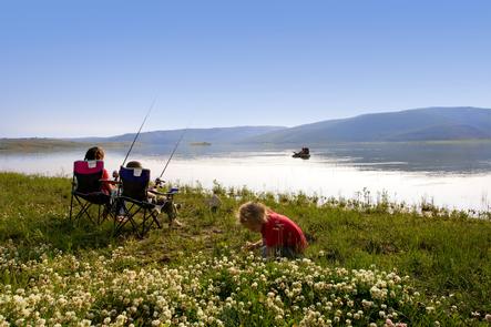
INTERPRETIVE PROGRAMS, FISHING, HIKING, HORSEBACK RIDING, HUNTING, PICNICKING, WILDLIFE VIEWING
Camping Reservations
Reserve your campsite at these camping areas:
Hiking Trails
Looking for nice hiking areas to take a hike? Choose from these scenic hiking trails:
Related Link(s)
Canyons Of Escalante/ Burr Trail
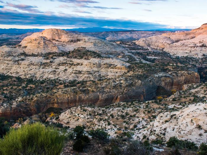
The Canyons of the Escalante–Wonders in Water and Stone. The Escalante River, the last major river system to be mapped in the continental United States, cascades off the southern flank of the Aquarius Plateau, winding through a 1,000-mile maze of interconnected canyons. This magical labyrinth is one of the scenic wonders of the West.

