Directions
The area begins about 50 air miles south of Vernal, Utah and extends south to the Book Cliffs divide.Towards the east is the Colorado/Utah state line. The Uintah and Ouray Indian Reservation is on the west side of the BookCliffs. Both southern Uintah County and northern Grand County are included.
Phone
(437)781-4400
Activities
AUTO TOURING, BIKING, BOATING, CLIMBING, CAMPING, INTERPRETIVE PROGRAMS, FISHING, HIKING, HORSEBACK RIDING, HUNTING, OFF HIGHWAY VEHICLE, PICNICKING, WINTER SPORTS, WILDLIFE VIEWING
Camping Reservations
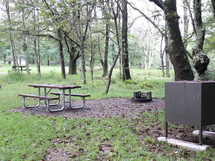
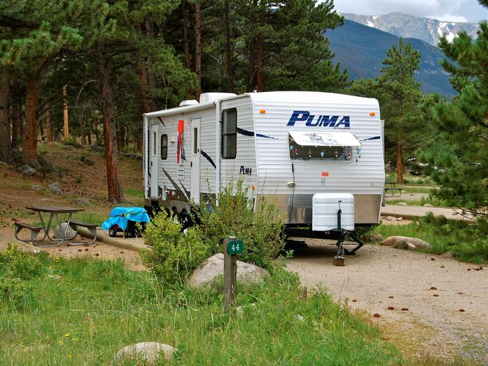
Reserve your campsite at these camping areas:
Hiking Trails
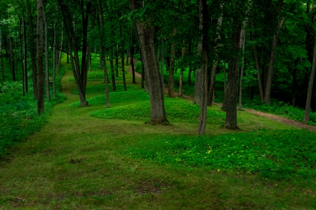
Looking for nice hiking areas to take a hike? Choose from these scenic hiking trails:
Related Link(s)
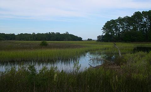
This area contains 455,000 acres of diverse ecosystems in a very remote setting, and maintains a “frontier mystique.” There is an abundance of wildlife species for viewing, including deer, elk, black bear, blue and sage grouse, numerous hawks, antelope, mountain lion, small mammals, birds, reptiles, and amphibians. The Book Cliffs Area begins in the northern desert shrub zone at about 5,500 feet in elevation and rises southward to about 8,500 feet in the aspen and fir zones. The vista is broken by deep valleys, many containing perennial streams.

