Directions
From Ely, travel west on U.S. Highway 50. Drive ј mile north of the Ruth turnoff, and turn right onto the graded access road. The access road is suitable for use by sedans and other passenger vehicles, though it is winding and somewhat steep. Travel 3.1 miles to the parking area.
Phone
775-289-1800
Activities
BIKING, CAMPING, HIKING, PICNICKING
Camping Reservations
Reserve your campsite at these camping areas:
Hiking Trails
Looking for nice hiking areas to take a hike? Choose from these scenic hiking trails:
Related Link(s)
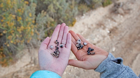
Garnet Hill is the only designated rock hounding area in the Ely District, an internationally known site for gem collectors looking for garnets. Here you may find the ruby red semi-precious gems in the rocky volcanic outcrops. Garnets can be found either through careful rock breaking or searching the surface and drainages for the dark colored stones. The garnets will usually occur as single crystals attached to small cavities in the rhyolite rock, though they may weather out of the rock, and wash downhill. Bring a rock hammer or just search the ground to locate these crystals. Although most of the garnets found here are not of perfect gem quality, most people go home happy with their finds. Garnet Hill is also an excellent location to view the excavations of the massive open pit copper mines near Ruth, Nevada.
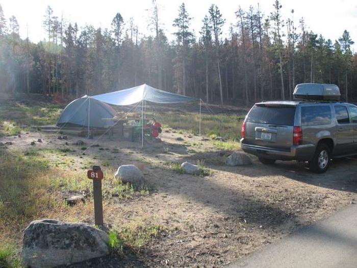
Things to note: There are four picnic sites with grills and a handicap accessible restroom available. A group barbeque area is also available. There are two informal areas for tents or small campers. RVs and large trailers are not recommended. No water is available. Elevation 7000 ft.


