Directions
From White River Junction, 5 miles south on US 5. Take a right onto Clay Hill Road.
Phone
(802) 295-2855
Activities
BOATING, HIKING, PICNICKING, WINTER SPORTS, VISITOR CENTER, WATER SPORTS, WILDLIFE VIEWING, PLAYGROUND PARK SPECIALIZED SPORT SITE, ENVIRONMENTAL EDUCATION
Camping Reservations
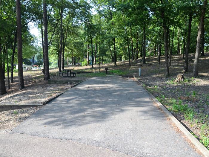
Reserve your campsite at these camping areas:
NORTH HARTLAND LAKE BEACH (VT)
Hiking Trails
Looking for nice hiking areas to take a hike? Choose from these scenic hiking trails:
Related Link(s)
North Hartland Lake Photo Album
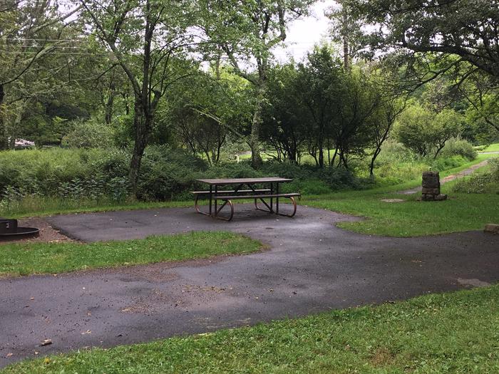
At the upper end of the reservoir, the Ottauquechee River flows through the sheer-faced 165-ft deep Quechee Gorge, one of the outstanding natural spectacles in the state. An overlook area and a state-managed campground as well as a new Visitor Center opening in the summer of 2005 are nearby. At North Hartland Lake, there is boating on the 215-acre lake, picnicking in a wooded picnic area, grills, playground, play field, horseshoe pits, volleyball nets, nature trail and a small beach offering swimming. There are three picnic shelters at North Hartland Lake that can be reserved for a group event for a nominal fee. The trash policy for the park is carry in/carry out. For up-to-date information, call (802) 295-2855.


