Directions
Site is about 6 miles south of the town of Los Banos on State Highway 165.
Phone
209-826-1198
Activities
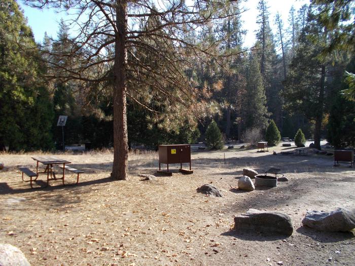
BOATING, HISTORIC & CULTURAL SITE, CAMPING, INTERPRETIVE PROGRAMS, FISHING, HIKING, HORSEBACK RIDING, HUNTING, PICNICKING, RECREATIONAL VEHICLES, WATER SPORTS, WILDLIFE VIEWING
Camping Reservations
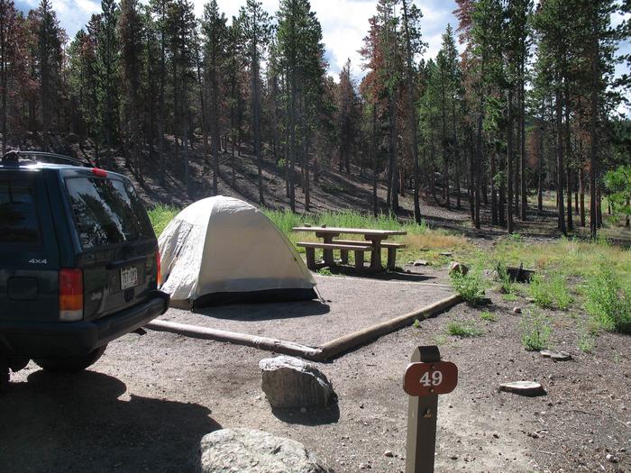
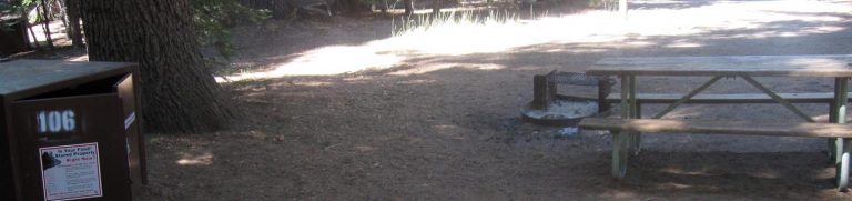
Reserve your campsite at these camping areas:
Hiking Trails
Looking for nice hiking areas to take a hike? Choose from these scenic hiking trails:
Related Link(s)
More California Recreation Areas
The Los Banos Dam and Reservoir are on Los Banos Creek above the San Luis Canal, near Los Banos, California. The dam and reservoir are features on the Central Valley Project – San Luis Unit. The reservoir has 620 water surface acres and 12 miles of shoreline. The recreation area offers trails following the Path of the Padres, a boat and hiking trail. The Path leads to the baths used by the padres of early California. During the spring, guided interpretive tours are provided on the trail. The reservoir offers day use facilities for picnic and family activities. Fishing opportunities are available, and the reservoir is stocked during the fall and winter months with trout. A horse camp is available and there are equestrian trails for the horse enthusiast.