Directions
Site is off State Highway 41 about 15 miles north of Fresno, California.
Phone
559-822-2225
Activities
BIKING, BOATING, CLIMBING, HISTORIC & CULTURAL SITE, CAMPING, INTERPRETIVE PROGRAMS, FISHING, HIKING, HORSEBACK RIDING, HUNTING, PICNICKING, RECREATIONAL VEHICLES, WATER SPORTS, WILDLIFE VIEWING
Camping Reservations
Reserve your campsite at these camping areas:
Hiking Trails
Looking for nice hiking areas to take a hike? Choose from these scenic hiking trails:
Related Link(s)
More California Recreation Areas
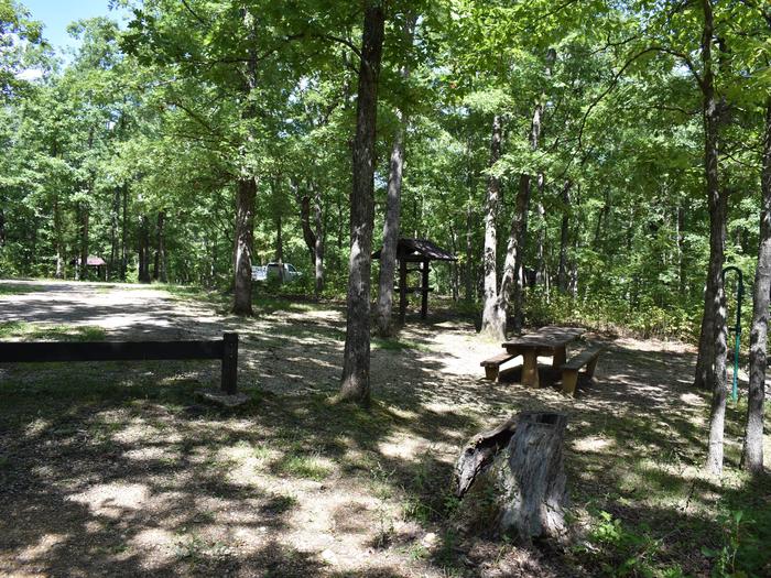
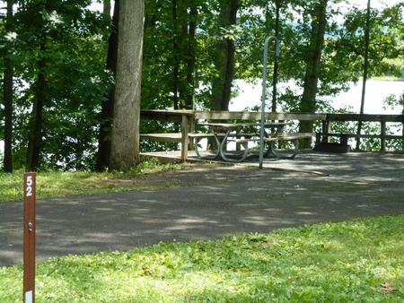
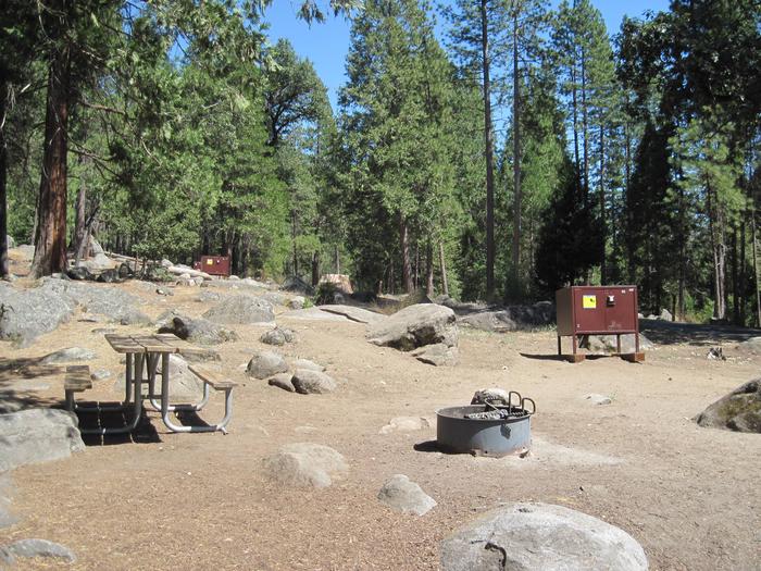
Friant Dam on the San Joaquin River, forms Millerton Lake. The dam and lake are features of the Central Valley Project – Friant Division. Millerton Lake is nestled in the foothills of the Sierra Nevada, approximately 15 miles east of Fresno, CA offers a wide variety of recreational opportunities. Reclamation is assisting the State Parks and Recreation to develop the San Joaquin trail that will allow hiking, equestrian, and bike access through the park and join the historic trail leading up the San Joaquin River. Numerous camping facilities, ranging from primitive sites to RV hookups are available. Call the park or 1-800-444-PARK for reservations. The park includes a preserve area for nesting bald eagles, and the park provides boat tours during the winter months for viewing. For boating enthusiasts, the lake offers a marina for long term docking as well as day use boat ramps. Good fishing for bass, catfish, crappie, and trout. The historic Millerton Courthouse, once the seat of Fresno County, has been restored and contains interpretive exhibits about the area’s local history. The courthouse was salvaged from the town of Millerton when it was inundated by Lake Millerton, and reconstructed on the shore at Mariner’s Point.