Directions
To reach Oakland Plantation, take I-49 to Exit 127, Flora/Cypress. Head east on LA Highway 120 toward Cypress. Cross over LA Highway 1 onto LA Highway 494. The parking lot and entrance pavilion for Oakland is 4.5 miles east of Highway 1 on the left. To reach the grounds of Magnolia Plantation, take I-49 to Exit 119, Derry. Head east on LA Highway 119. Cross over LA Highway 1 and proceed for 1.1 miles. The parking area of Magnolia Plantation is on the right just before the road closure.
Phone
(318) 352-0383
Activities
BIKING, HISTORIC & CULTURAL SITE
Camping Reservations
Reserve your campsite at these camping areas:
Hiking Trails
Looking for nice hiking areas to take a hike? Choose from these scenic hiking trails:
Related Link(s)
More Louisiana Recreation Areas
Cane River Creole National Historical Park Official Website
Cane River Creole National Historical Park Map
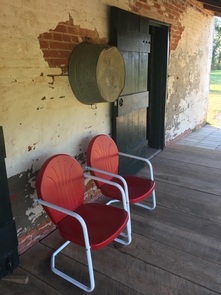
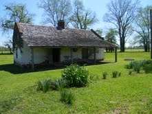
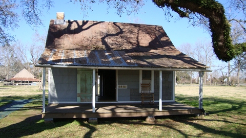
The Cane River region is home to a unique culture; the Creoles. Generations of the same families of owners and workers, enslaved and tenant, lived on these lands for over 200 years. The park tells their stories and preserves the cultural landscape of Oakland and Magnolia Plantations, two of the most intact Creole cotton plantations in the United States.