Directions
From Interstate 77, Exit 5 At Exit 5 turn onto SC Hwy 48 East/Bluff Road. Following the brown and white “Congaree National Park” directional signs, travel approximately 8 miles on and then take a slight right onto Old Bluff Road. Follow Old Bluff Road for 4.5 miles to the park entrance sign, which will be on the right. Proceed one mile to the Harry Hampton Visitor Center. Parking lots will be on the right.
Phone
(803) 776-4396
Activities
HISTORIC & CULTURAL SITE, CAMPING, FISHING, HIKING, PICNICKING, WILDLIFE VIEWING, PADDLING
Camping Reservations
Reserve your campsite at these camping areas:
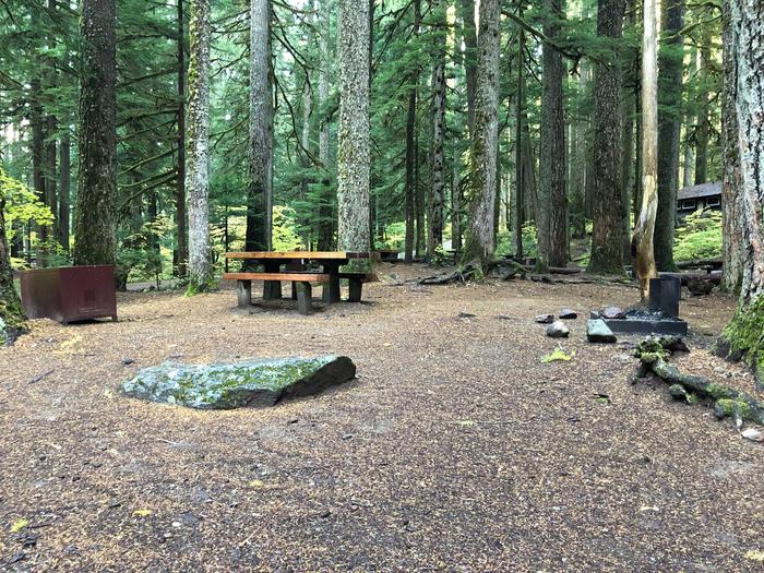
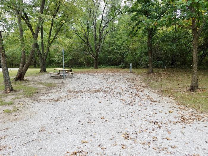
CONGAREE NATIONAL PARK CAMPING
Hiking Trails
Looking for nice hiking areas to take a hike? Choose from these scenic hiking trails:
Related Link(s)
More South Carolina Recreation Areas
Congaree National Park Official Website
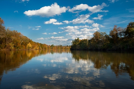
Astonishing biodiversity exists in Congaree National Park, the largest intact expanse of old growth bottomland hardwood forest remaining in the southeastern United States. Waters from the Congaree and Wateree Rivers sweep through the floodplain, carrying nutrients and sediments that nourish and rejuvenate this ecosystem and support the growth of national and state champion trees.


