
Directions
U.S. Highway 50 runs the length of Curecanti between Montrose and Gunnison. The recreation area is also accessed from CO Highway 149 and CO Highway 92.
Phone
(970) 641-2337
Activities
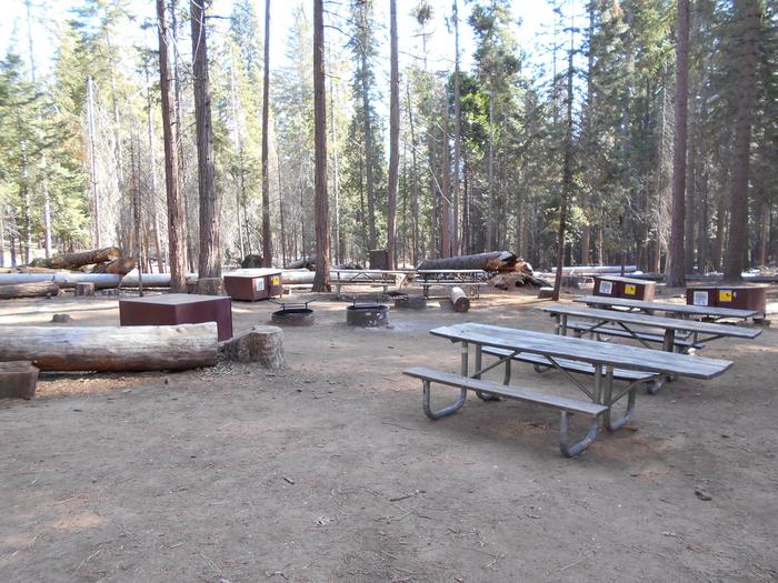
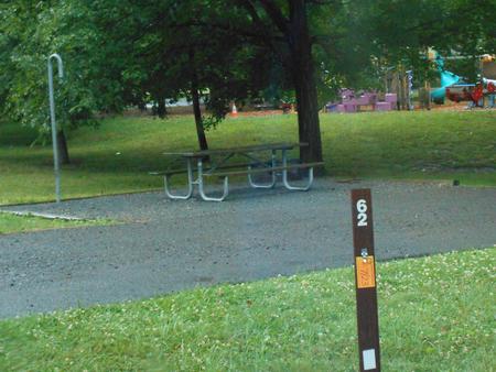
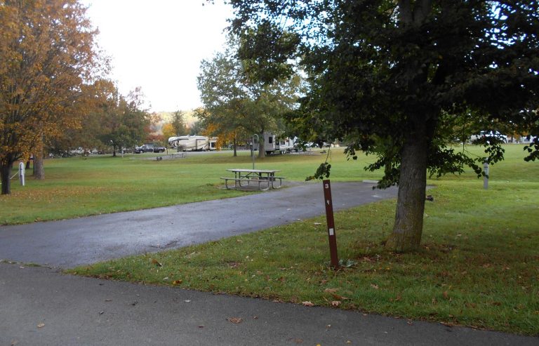
AUTO TOURING, BOATING, CAMPING, FISHING, HIKING, HORSEBACK RIDING, HUNTING, WILDLIFE VIEWING, SWIMMING
Camping Reservations
Reserve your campsite at these camping areas:
Hiking Trails
Looking for nice hiking areas to take a hike? Choose from these scenic hiking trails:
Related Link(s)
More Colorado Recreation Areas
Curecanti National Recreation Area Official Website
Curecanti National Recreation Area Map
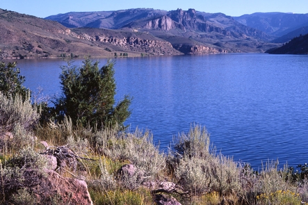
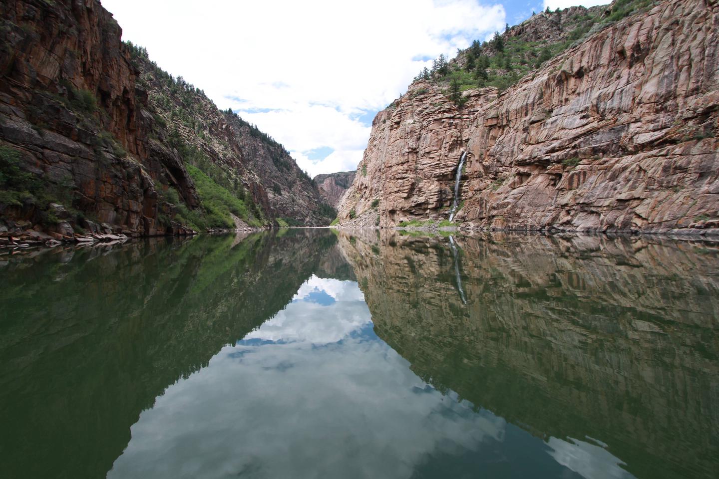
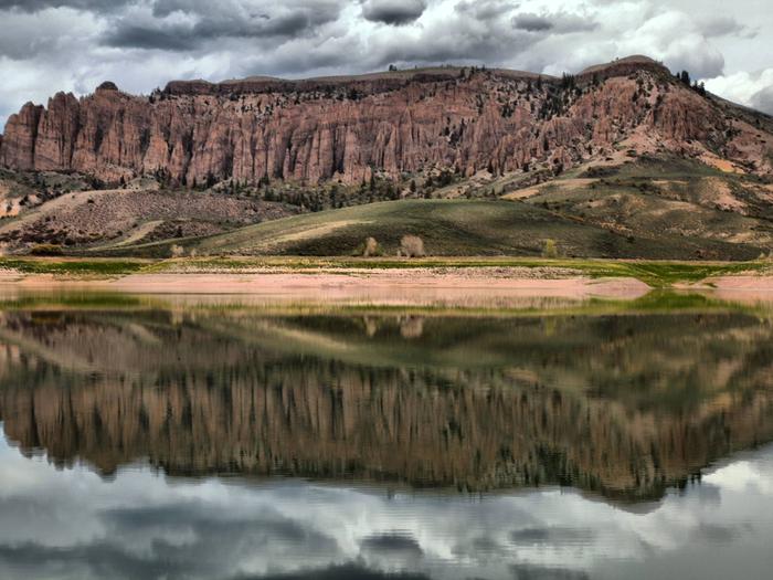
Curecanti National Recreation Area is a series of three reservoirs along the once wild Gunnison River. The reservoirs that make up Curecanti today are a destination for water-based recreation high in the Rocky Mountains. Best known for salmon and trout fishing, Curecanti also offers opportunities for hiking, boating, camping, and bird watching.