


Directions
The main road transecting Death Valley National Park from east to west is California Highway 190. On the east in Nevada, U.S. Route 95 parallels the park from north to south with connecting highways at Scotty’s Junction (State Route 267), Beatty (State Route 374), and Lathrop Wells (State Route 373).
Phone
(760) 786-3200
Activities
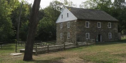
AUTO TOURING, BIKING, HISTORIC & CULTURAL SITE, CAMPING, HIKING, WILDLIFE VIEWING
Camping Reservations
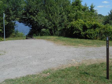
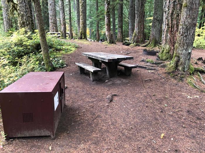
Reserve your campsite at these camping areas:
Hiking Trails
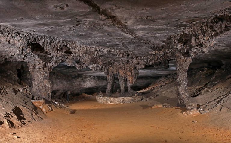
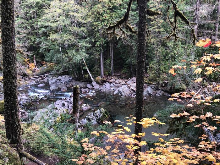
Looking for nice hiking areas to take a hike? Choose from these scenic hiking trails:
Related Link(s)
More California Recreation Areas
Death Valley National Park Official Website
Death Valley National Park Map
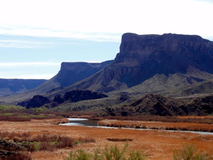
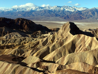
In this below-sea-level basin, steady drought and record summer heat make Death Valley a land of extremes. Yet, each extreme has a striking contrast. Towering peaks are frosted with winter snow. Rare rainstorms bring vast fields of wildflowers. Lush oases harbor tiny fish and refuge for wildlife and humans. Despite its morbid name, a great diversity of life survives in Death Valley.
Watch the video about wheelchair access in the park.