

Directions
From Willcox, AZ / points west on I-10: drive 23 miles east of Willcox on Interstate 10 to the the town of Bowie. Exit at the first Bowie exit and drive through the town. Follow the signs for Fort Bowie National Historic Site and turn south on Apache Pass Road. Drive 13 miles to the Fort Bowie Trailhead (the last mile of the road is unpaved). Be prepared to walk the three miles round trip to the ruins and back to your car.
Phone
(520) 847-2500
Activities
WILDLIFE VIEWING
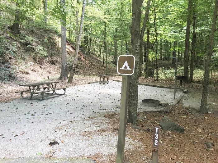
Camping Reservations
Reserve your campsite at these camping areas:
Hiking Trails
Looking for nice hiking areas to take a hike? Choose from these scenic hiking trails:
Related Link(s)
Fort Bowie National Historic Site Official Website
Fort Bowie National Historic Site Map
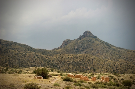
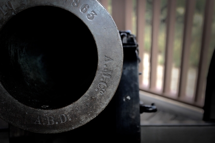
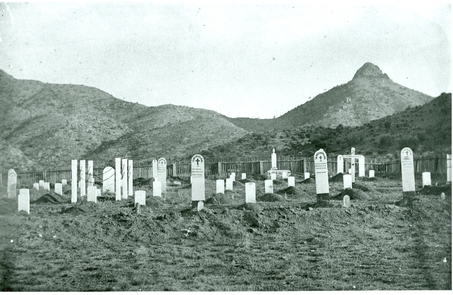
Fort Bowie witnessed almost 25 years of conflict between the Chiricahua Apache and the US Army, and remains a tangible connection to the turbulent era of the late 1800s. Explore the history of Fort Bowie and Apache Pass as you hike the 1.5 mile trail to the visitor center and old fort ruins. Today, this peaceful landscape stands in stark contrast to the violence that once gripped this land.