Directions
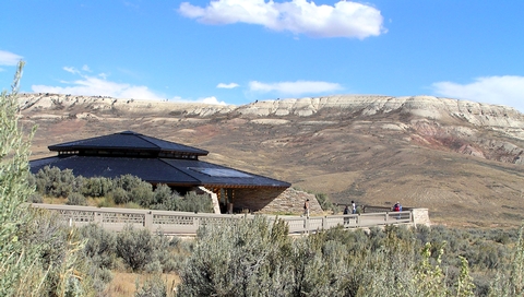
By car: Travel 9 miles west of Kemmerer, Wyoming on U.S. Highway 30. There is a highway sign near mile post 44; turn right onto Lincoln County Road 300. The Historic Quarry Trail is approximately 1/2 mile on the right. Continue west on County Road 300 for approximately 3 miles to Chicken Creek Road which provides access to the visitor center, scenic drive, Nature Trail and picnic area. Closest airports: Rock Springs, Wyoming (130 miles); Salt Lake City, Utah (150 miles)
Phone
(307) 877-4455
Activities
BIKING, HIKING, WILDLIFE VIEWING
Camping Reservations
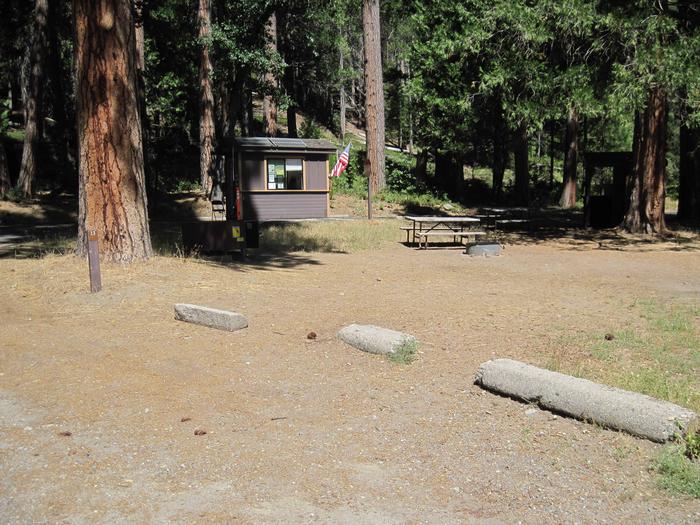
Reserve your campsite at these camping areas:
Hiking Trails
Looking for nice hiking areas to take a hike? Choose from these scenic hiking trails:
Related Link(s)
Fossil Butte National Monument Official Website
Fossil Butte National Monument Map
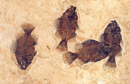
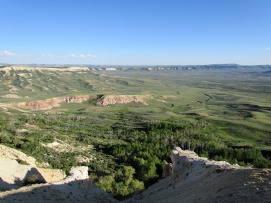
Some of the world’s best preserved fossils are found in the flat-topped ridges of southwestern Wyoming’s cold sagebrush desert. Fossilized fishes, insects, plants, reptiles, birds, and mammals are exceptional for their abundance, variety, and detail of preservation. Most remarkable is the story they tell of ancient life in a subtropical landscape.


