
Directions
We are approximately 2.5 hours south of Midland/Odessa starting on I-20 to HWY 17, 3.5 hours North West of Del Rio starting on HWY 90 to HWY 118, 4 hours east of El Paso starting on I-10 to HWY 118 and 7 hours west of San Antonio starting on I-10 to HWY 17.
Phone
(432) 426-3224
Activities
HISTORIC & CULTURAL SITE, HIKING, WILDLIFE VIEWING
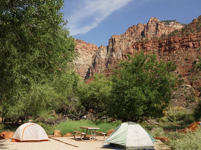
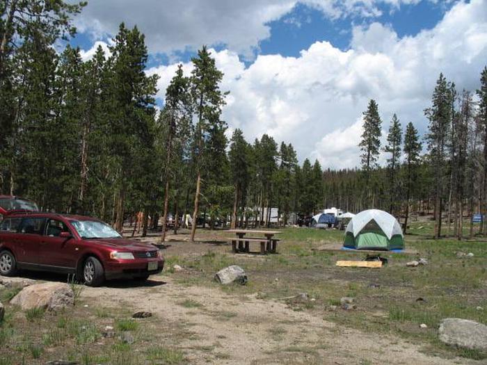
Camping Reservations
Reserve your campsite at these camping areas:
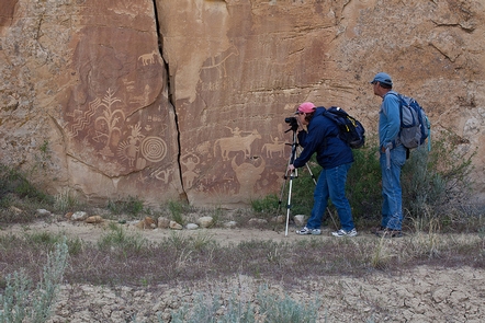
Hiking Trails
Looking for nice hiking areas to take a hike? Choose from these scenic hiking trails:
Related Link(s)
Fort Davis National Historic Site Official Website
Fort Davis National Historic Site Map
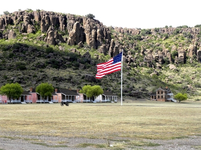
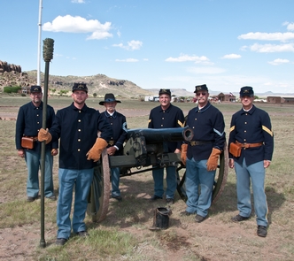
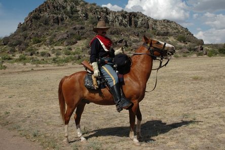
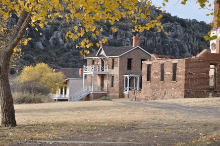
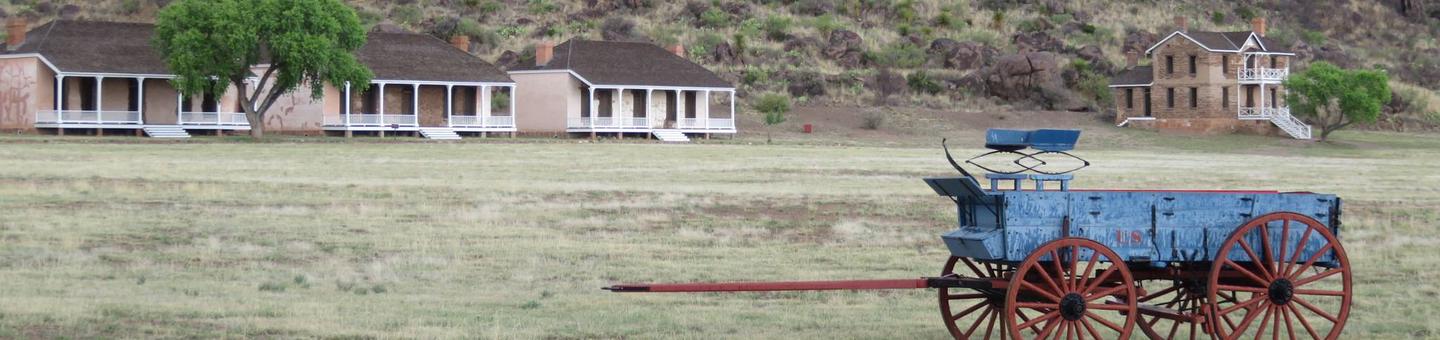
Fort Davis is one of the best surviving examples of an Indian Wars’ frontier military post in the Southwest. From 1854 to 1891, Fort Davis was strategically located to protect emigrants, mail coaches, and freight wagons on the Trans-Pecos portion of the San Antonio-El Paso Road and on the Chihuahua Trail.