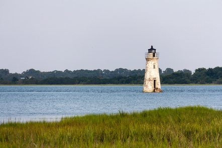


Directions
From Interstate I-95, take Exit 99 onto Interstate I-16 East (James L Gillis Memorial Hwy) for 7 miles. Take Exit 164A onto Interstate I-516 East toward US-80 East. Take Exit 3 (US-17 S/US-80 E) toward US-80 East. Turn left onto Ocean Highway, Ogeechee Rd (US-17 N, US-80 East). Bear right onto West Victory Drive (US-80 East). Continue on US-80 East for 13 miles. GPS Coordinates for Fort Pulaski National Monument: N32° 01.680 W080° 53.525
Phone
(912) 786-5787
Activities
BIKING, PICNICKING
Camping Reservations
Reserve your campsite at these camping areas:
Hiking Trails
Looking for nice hiking areas to take a hike? Choose from these scenic hiking trails:
Related Link(s)
Fort Pulaski National Monument Official Website
Fort Pulaski National Monument Map
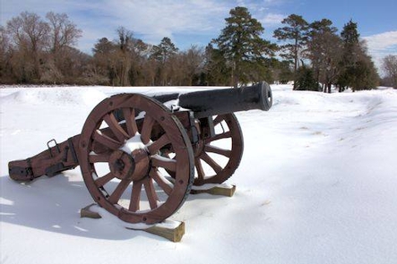
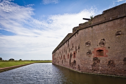
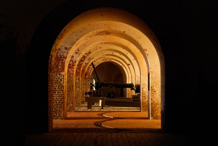
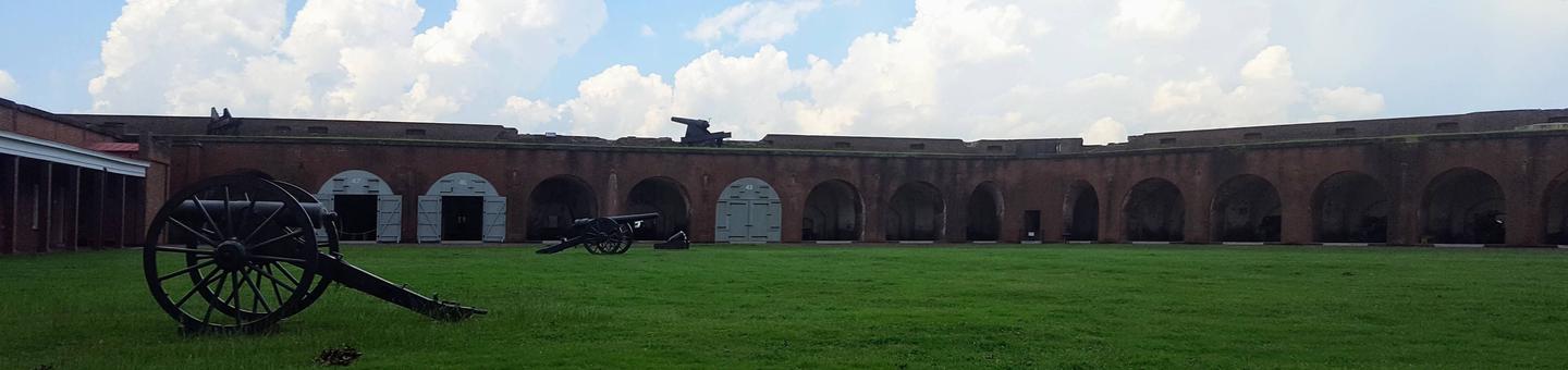
For much of the 19th century, masonry fortifications were the United States™ main defense against overseas enemies. However, during the Civil War, new technology proved its superiority to these forts. The Union army used rifled cannon and compelled the Confederate garrison inside Fort Pulaski to surrender. The siege was a landmark experiment in the history of military science and invention.