Directions
From Interstate 40 Eastbound: Exit at Roland, and drive six miles on highway 64 to downtown Fort Smith. From Interstate 40 Westbound & from North I 540 & Fayetteville, take Interstate 40 westbound to I 540 south. Exit west on Rogers Ave. and continue to downtown. In the downtown area: On Rogers or Garrison Ave turn south at 4th St. Turn right onto Garland Ave. At the end of the next block is the entrance to the main parking lot. Parking is also available on Third Street.
Phone
(479) 783-3961
Camping Reservations
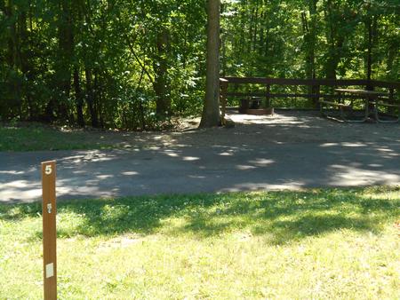
Reserve your campsite at these camping areas:
Hiking Trails
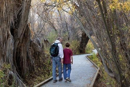
Looking for nice hiking areas to take a hike? Choose from these scenic hiking trails:
Related Link(s)
More Arkansas Recreation Areas
Fort Smith National Historic Site Official Website
Fort Smith National Historic Site Map
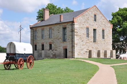
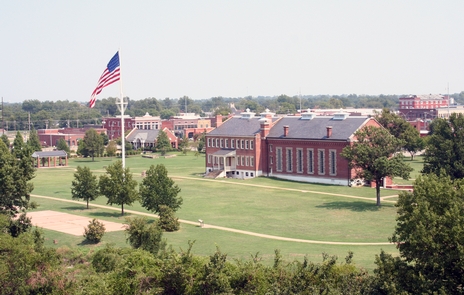
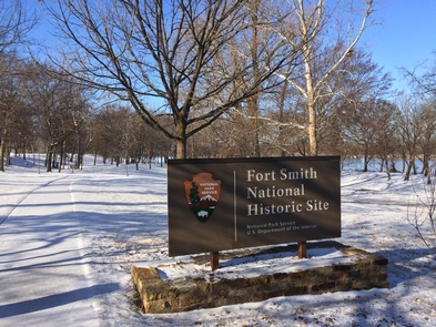
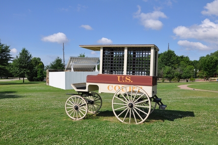
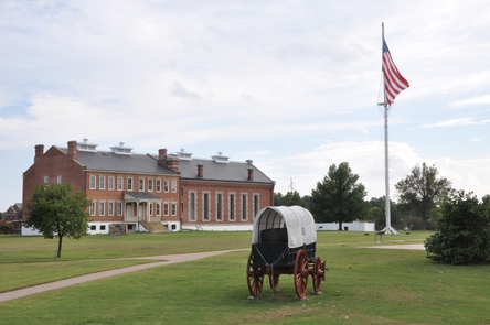
From the establishment of the first Fort Smith on December 25, 1817, to the final days of Judge Isaac C. Parker’s jurisdiction over Indian Territory in 1896, Fort Smith National Historic Site preserves almost 80 years of history. Explore life on the edge of Indian Territory through the stories of soldiers, the Trail of Tears, dangerous outlaws, and the brave lawmen who pursued them.

