Directions
From Sioux Falls, west on I-90 to Reliance, then north on SD 47.
Phone
(605) 245-2255
Activities
BOATING, HISTORIC & CULTURAL SITE, CAMPING, FISHING, PICNICKING, WATER SPORTS, WILDLIFE VIEWING, PLAYGROUND PARK SPECIALIZED SPORT SITE, ENVIRONMENTAL EDUCATION
Camping Reservations
Reserve your campsite at these camping areas:
Hiking Trails
Looking for nice hiking areas to take a hike? Choose from these scenic hiking trails:
Related Link(s)
More South Dakota Recreation Areas
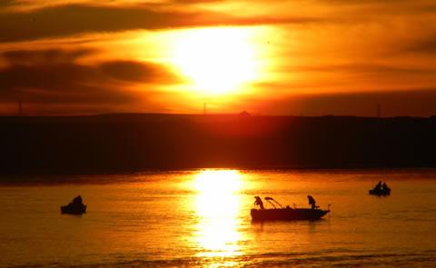
Big Bend Dam, SD takes its name from the unique bend in the Missouri River 7 miles upstream from the dam. At this point in its course, the Missouri makes almost a complete loop, traveling 25 miles before returning to the “neck” where the land is not quite a mile wide. The 19 Lake Sharpe recreation areas vary from primitive to highly developed and provide opportunities for camping, boating, picnicking, and fishing.


