Directions
The park entrance road is located off of route 9H two miles south of Kinderhook Village. GPS Coordinates: 42° 22′ 52” N -73° 42′ 13” W
Phone
(518) 758-9689
Activities
HISTORIC & CULTURAL SITE, PICNICKING, WILDLIFE VIEWING
Camping Reservations
Reserve your campsite at these camping areas:
Hiking Trails
Looking for nice hiking areas to take a hike? Choose from these scenic hiking trails:
Related Link(s)
More New York Recreation Areas
Martin Van Buren National Historic Site Official Website
Martin Van Buren National Historic Site Map
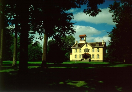
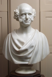
Politics before the Civil War was a whirlwind of opposing interest groups. Martin Van Buren was able to unite those groups becoming president in 1837. As frustration and violence over the extension of slavery grew in the 1840’s, Van Buren ran for the presidency twice more from this house. He hoped to unite sectional interests but failed; ultimately so did the union.

