Directions
Visitors traveling east-west on Interstate 80 can exit at Kimball, Nebraska and drive 45 miles north on Highway 71. Follow National Park Service signs three miles west of Gering, Nebraska on Old Oregon Trail (State Highway 92 West). Visitors following Old Oregon Trail along the North Platte River using State Highway 26 or 92, should follow the National Park Service signs.
Phone
(308) 436-9700
Activities
HISTORIC & CULTURAL SITE, HIKING
Camping Reservations
Reserve your campsite at these camping areas:
Hiking Trails
Looking for nice hiking areas to take a hike? Choose from these scenic hiking trails:
Related Link(s)
More Nebraska Recreation Areas
Scotts Bluff National Monument Official Website
Scotts Bluff National Monument Map
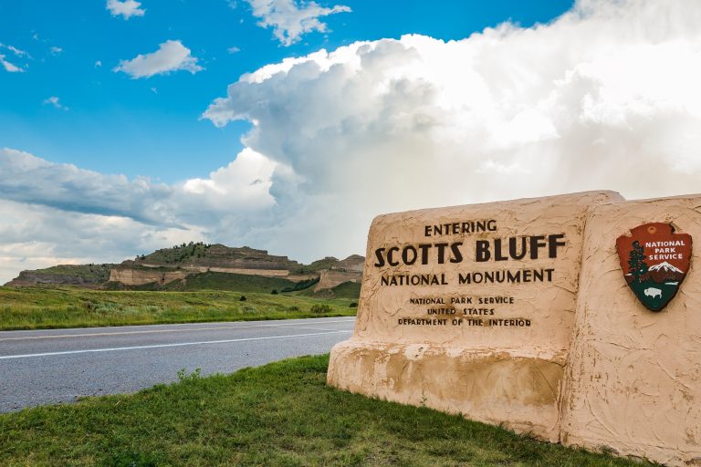
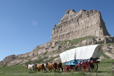
Towering 800 feet above the North Platte River, Scotts Bluff has served as a landmark for peoples from Native Americans to emigrants on the Oregon, California and Mormon Trails to modern travelers. Rich with geological and paleontological history as well as human history, there is much to discover while exploring the 3,000 acres of Scotts Bluff National Monument.


