Directions
Two highways enter the parks. Hwy 180 from Fresno leads east to Kings Canyon National Park, then continues 30 miles east to Cedar Grove. Hwy 198 from Visalia leads east to Sequoia National Park via Three Rivers. Inside the parks, Highway 198 becomes the Generals Highway, which connects 198 to 180. Vehicles over 22-feet long should enter the parks via Highway 180. In winter, the Generals Highway between the parks often closes. Chains may be required on park roads. No roads cross these parks east to west.
Phone
(559) 565-3341
Activities
AUTO TOURING, CLIMBING, CAMPING, FISHING, HIKING, HORSEBACK RIDING, PICNICKING, WILDLIFE VIEWING, HORSE CAMPING
Camping Reservations
Reserve your campsite at these camping areas:
Dorst Creek Campground-Sequoia and Kings Canyon National Park
Lodgepole Campground-Sequoia and Kings Canyon National Park
Crystal Springs Campground Mid-Sized Group Sites
Hiking Trails
Looking for nice hiking areas to take a hike? Choose from these scenic hiking trails:
Related Link(s)
More California Recreation Areas
Sequoia & Kings Canyon National Parks Official Website
Sequoia & Kings Canyon National Parks Map
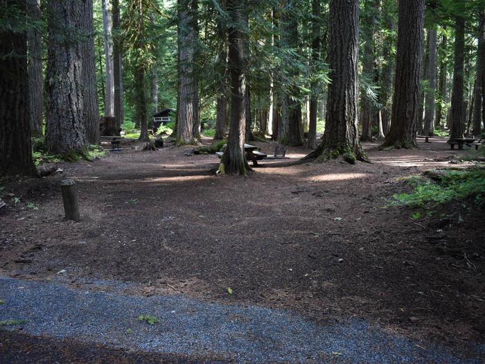
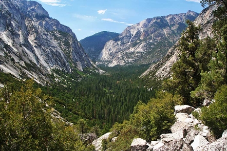
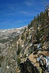
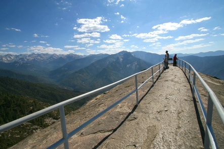
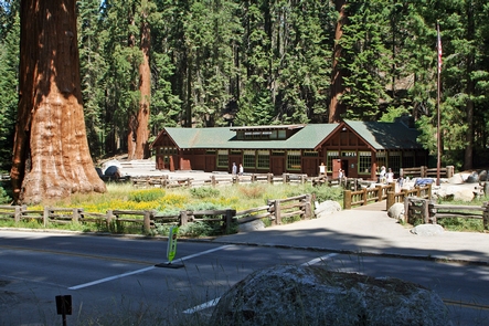
This dramatic landscape testifies to nature’s size, beauty, and diversity”huge mountains, rugged foothills, deep canyons, vast caverns, and the world’s largest trees. The parks lie side by side in the southern Sierra Nevada east of the San Joaquin Valley. Weather varies a lot by season and elevation, which ranges from 1,370′ to 14,494′.

