Directions
Our GPS coordinates are: N 41.410730 (latitude), W 75.671329 (longitude) using our park entrance, Lackawanna Ave at Cliff St, 18503 Be careful NOT to use the park’s MAILING address with a GPS unit as there is no entrance at that location. If the location info above fails, you can try 350 Cliff St with ZIP Code 18503 (the bookstore mail address). General Driving Directions Take I-81 to exit 185. At first traffic light turn left on Lackawanna Avenue. Continue on Lackawanna Ave to Cliff St and park entrance.
Phone
(570) 340-5200
Activities
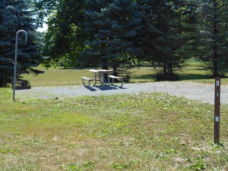
PICNICKING
Camping Reservations
Reserve your campsite at these camping areas:
Hiking Trails
Looking for nice hiking areas to take a hike? Choose from these scenic hiking trails:
Related Link(s)
More Pennsylvania Recreation Areas
Steamtown National Historic Site Official Website
Steamtown National Historic Site Map
You’d feel heat from the firebox, smell hot steam and oil; you’d hear the whistle, feel the ground vibrate, and watch as one-ton drive rods turned steel wheels. Remember the sound of “chuff-chuff” from the smokestack? Today, you can learn the history of steam railroad transportation, and the people who built, repaired and rode, as we work to preserve a special era in America’s industrial history!


