Directions
Cheyenne is situated in western Oklahoma approximately 140 miles west of Oklahoma City and 128 miles east of Amarillo, Texas; just 22 miles north of I-40 on State Highway 283. The town of Cheyenne is the county seat of Roger Mills and inhabits 23.3% of the entire county population.Cheyenne is approximately 30 miles north of I-40 on Hwy 283 and approxima
Phone
(580) 497-2742
Activities
HISTORIC & CULTURAL SITE
Camping Reservations
Reserve your campsite at these camping areas:
Hiking Trails
Looking for nice hiking areas to take a hike? Choose from these scenic hiking trails:
Related Link(s)
More Oklahoma Recreation Areas
Washita Battlefield National Historic Site Official Website
Washita Battlefield National Historic Site Map
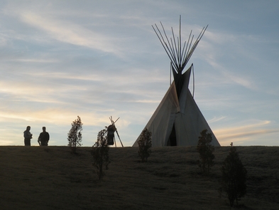
On November 27, 1868, Lt. Colonel George Armstrong Custer led the 7th U.S. Cavalry on a surprise dawn attack on a Cheyenne village led by Peace Chief Black Kettle. The event was an example of the tragic clash of cultures that occurred during the Great Plains Wars. It is also a place of remembrance and reflection for those who died here.

