Directions
McInnis Canyons National Conservation Area is accessible via a number of routes.
Phone
970-244-3000
Activities
AUTO TOURING, BIKING, BOATING, HISTORIC & CULTURAL SITE, CAMPING, INTERPRETIVE PROGRAMS, HIKING, HORSEBACK RIDING, HUNTING, OFF HIGHWAY VEHICLE, WATER SPORTS, WILDLIFE VIEWING, WILDERNESS, ENVIRONMENTAL EDUCATION, PHOTOGRAPHY
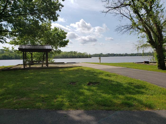
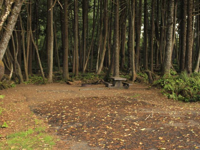
Camping Reservations
Reserve your campsite at these camping areas:
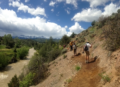
Hiking Trails
Looking for nice hiking areas to take a hike? Choose from these scenic hiking trails:
Related Link(s)
More Colorado Recreation Areas
McInnis Canyons National Conservation Area is one of BLM Colorado’s most diverse desert recreation areas. Hikers will be stunned by the red-rock cliffs of Black Ridge Canyons Wilderness while the Ruby-Horsethief River Corridor offers Class I and II flatwater boating nearby. The area also offers mountain biking at Mack Ridge/Kokopelli and off-highway vehicle trails in Rabbit Valley. The Trail Through Time, adjacent to an active dinosaur quarry, provides visitors a chance to learn about fossils and paleontological finds in the area. Find outstanding hiking and horseback riding at Devil’s Canyon and Pollock Bench trailheads off of Kingsview Road outside of Fruita. The area is home to mountain lions, desert bighorn sheep, elk, deer, eagles and collared lizards.