Directions
Heading north of Boston, Interstate 93 and state Routes 1 and 1A traverse the length of the ENHA. South from New Hampshire, take Routes 1, 3 and Interstates 93 and 95. West from the Massachusetts Turnpike (I-90), take Interstates 495 north or Interstate 95/Route 128. From the northwest, take state Route 2. The Essex National Heritage Commission has placed brown highway signs on all major roads to guide visitors to local sites and visitor centers. They are easy to see and easy to follow!
Phone
(978) 740-0444
Camping Reservations
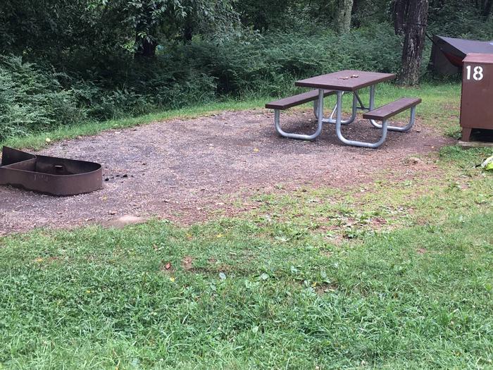
Reserve your campsite at these camping areas:
Hiking Trails
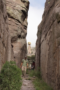
Looking for nice hiking areas to take a hike? Choose from these scenic hiking trails:
Related Link(s)
More Massachusetts Recreation Areas
Essex National Heritage Area Official Website
Essex National Heritage Area Map
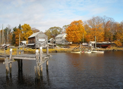
The Essex National Heritage Area begins just 10 miles north of Boston and covers 500 square miles of eastern Massachusetts to the New Hampshire border. The Area includes hundreds of historical sites, miles of intact landscapes, glistening coastal regions and lifetimes of rich experiences that chronicle the history of our region and of our nation.


