Directions
From the Beltway (I495/I95), take Exit 3, Indian Head Highway south (MD210/Indian Head Highway) and drive for approximately 3.5 miles to Old Fort Road. Turn right for 1 mile to Fort Foote Road S, turn left. Follow the winding road through the residential area to entrance sight on the left for the fort. If driving north on MD210/Indian Head Highway turn left onto the 2nd Old Fort Road you come to (Old Fort Rd cross 210 twice). There will be a McDonald’s on your left at the correct traffic light.
Phone
(301) 763-4600
Activities
WILDLIFE VIEWING
Camping Reservations
Reserve your campsite at these camping areas:
Hiking Trails
Looking for nice hiking areas to take a hike? Choose from these scenic hiking trails:
Related Link(s)
More Maryland Recreation Areas
Fort Foote Park Official Website
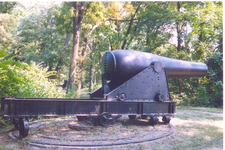
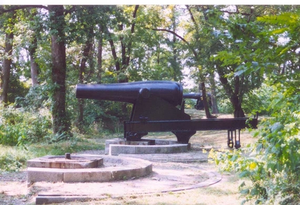
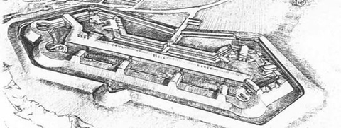
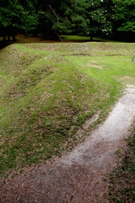
Fort Foote was constructed in 1863 atop Rozier’s Bluff to strengthen the ring of fortifications that encircled Washington, D.C. Two of the Guns that protected Washington are still there along with the remains of the fort’s earthworks.

